Approximate Location Map
Large Map »
This site is entirely user-supported. See how you can help.
If Google Street View is available, the image is from the best available vantage point looking, if possible, towards the location of the monument. Where it is not available, the satellite view is shown instead.
Latitude: 51.4682 / 51°28'5"N
Longitude: -0.6231 / 0°37'23"W
OS Eastings: 495738.299574
OS Northings: 175258.255188
OS Grid: SU957752
Mapcode National: GBR F8K.Z5V
Mapcode Global: VHFTG.4CYB
Entry Name: Moated site at Moat Park, New Windsor
Scheduled Date: 22 August 1990
Source: Historic England
Source ID: 1013358
English Heritage Legacy ID: 12051
County: Windsor and Maidenhead
Electoral Ward/Division: Park
Built-Up Area: Windsor
Traditional County: Berkshire
Lieutenancy Area (Ceremonial County): Berkshire
Church of England Parish: New Windsor
Church of England Diocese: Oxford
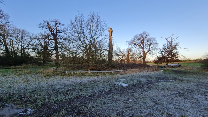
The monument includes a small sub-rectangular moated site situated in a low-
lying area at the northern end of Windsor Great Park and bisected from north-
west to south-east by the Bourne Ditch. The site is orientated ENE-WSW with
maximum external dimensions of c.60m and 45m respectively. The island
survives as a platform standing c.0.5m above the level of surrounding ground
with an area c.50m by 35m in size. It is encircled by a dry moat surviving to
a depth of up to 0.5m and a maximum width of 5m. The site appears on a map of
1607 as a moated lodge.
The Bourne Ditch is excluded from the scheduling, thereby dividing the
monument into two areas.
MAP EXTRACT
The site of the monument is shown on the attached map extract.
It includes a 2 metre boundary around the archaeological features,
considered to be essential for the monument's support and preservation.
Source: Historic England
Around 6,000 moated sites are known in England. They consist of wide ditches,
often or seasonally water-filled, partly or completely enclosing one or more
islands of dry ground on which stood domestic or religious buildings. In some
cases the islands were used for horticulture. The majority of moated sites
served as prestigious aristocratic and seigneurial residences with the
provision of a moat intended as a status symbol rather than a practical
military defence. The peak period during which moated sites were built was
between about 1250 and 1350 and by far the greatest concentration lies in
central and eastern parts of England. However, moated sites were built
throughout the medieval period, are widely scattered throughout England and
exhibit a high level of diversity in their forms and sizes. They form a
significant class of medieval monument and are important for the understanding
of the distribution of wealth and status in the countryside. Many examples
provide conditions favourable to the survival of organic remains.
Although a large number of moated sites are known in England, relatively few
survive in Berkshire. This example is particularly important as it survives
well as a small moated site and provides an interesting contrast to the larger
and more complex moated sites which survive in the Great Park. The site also
has a good level of historical documentation, appearing as a moated lodge on
Norden's map of 1607.
Source: Historic England
Other
Dennison, E and Darvill, T, HBMC Monument Class Description - Moats, 1988,
Source: Historic England
Other nearby scheduled monuments