Approximate Location Map
Large Map »
This site is entirely user-supported. See how you can help.
If Google Street View is available, the image is from the best available vantage point looking, if possible, towards the location of the monument. Where it is not available, the satellite view is shown instead.
Latitude: 52.7031 / 52°42'10"N
Longitude: -0.4483 / 0°26'53"W
OS Eastings: 504942.791163
OS Northings: 312837.759778
OS Grid: TF049128
Mapcode National: GBR FV7.FH0
Mapcode Global: WHGLR.2BS3
Entry Name: Essendine Castle moated site
Scheduled Date: 16 April 1951
Last Amended: 4 September 1991
Source: Historic England
Source ID: 1010693
English Heritage Legacy ID: 17012
County: Rutland
Civil Parish: Essendine
Built-Up Area: Essendine
Traditional County: Rutland
Lieutenancy Area (Ceremonial County): Rutland
Church of England Parish: Essendine St Mary Magdalene
Church of England Diocese: Peterborough
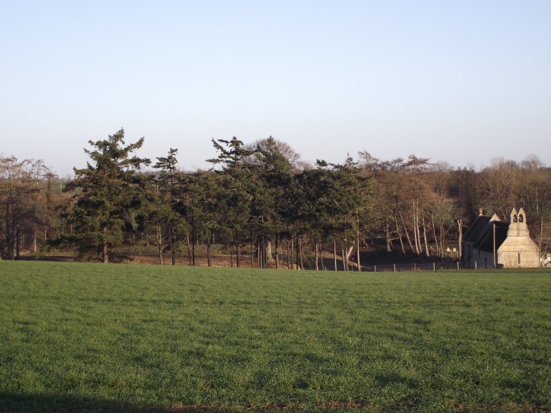
Essendine Castle is a large fortified manor site with a fishpond and an
ajoining enclosure containing a church. A further set of fishponds originally
lay to the south of this, but were destroyed in the last fifty years.
The moat is very large, the outer dimensions being about 100m square. The
ditch is 30m wide on the western side, up to 40m on the north, and 3-4m deep.
The moat island occupies an area of 55m x 50m. The adjoining fishpond, of
roughly triangular shape, measures about 60 x 30m in maximum dimension, and
has a break in the bank connecting it to the moat ditch where some stonework
is showing. A substantial stream called the West Glen River flows from north
to south on the eastern side of the site which is bounded by an earth bank.
The outer enclosure to the south side is rectangular, measuring 120 x 50m in
overall dimension and has access via a bridge. The church is of Norman
origin.
Historical records indicate that the medieval complex was probably built by
the Busseys or Robert de Vipont at the end of the 12th or early 13th
centuries. It is described in an account of 1417. The strong defensive
nature of the site, and its similarities to Woodhead Castle 5km to the east,
suggest a variation on a ringwork.
St.Mary's Church is a listed building grade II* and is excluded from the
scheduling, although the ground beneath the church is included. The modern
burial area to the south of the church is totally excluded.
MAP EXTRACT
The site of the monument is shown on the attached map extract.
It includes a 2 metre boundary around the archaeological features,
considered to be essential for the monument's support and preservation.
Source: Historic England
Around 6,000 moated sites are known in England. They consist of wide ditches,
often or seasonally water-filled, partly or completely enclosing one or more
islands of dry ground on which stood domestic or religious buildings. In some
cases the islands were used for horticulture. The majority of moated sites
served as prestigious aristocratic and seigneurial residences with the
provision of a moat intended as a status symbol rather than a practical
military defence. The peak period during which moated sites were built was
between about 1250 and 1350 and by far the greatest concentration lies in
central and eastern parts of England. However, moated sites were built
throughout the medieval period, are widely scattered throughout England and
exhibit a high level of diversity in their forms and sizes. They form a
significant class of medieval monument and are important for the understanding
of the distribution of wealth and status in the countryside. Many examples
provide conditions favourable to the survival of organic remains.
Essendine Castle moated manorial site is one of the most impressive of its
kind in Leicestershire, with its exceptionally large ditches and pronounced
inner banks indicating the defensive nature of the site. The position of the
Norman church in the adjacent enclosure is also an unusual feature and
indicates the high status of this manorial site.
Source: Historic England
Books and journals
The Victoria History of the County of Rutland, (1911), 250
Hartley, R F, The Medieval Earthworks of Rutland, (1983), 15/18
Source: Historic England
Other nearby scheduled monuments