Approximate Location Map
Large Map »
This site is entirely user-supported. See how you can help.
If Google Street View is available, the image is from the best available vantage point looking, if possible, towards the location of the monument. Where it is not available, the satellite view is shown instead.
Latitude: 55.3814 / 55°22'53"N
Longitude: -1.9064 / 1°54'23"W
OS Eastings: 406026.296376
OS Northings: 609718.411086
OS Grid: NU060097
Mapcode National: GBR H646.1Q
Mapcode Global: WHB0B.PZCX
Entry Name: Univallate hillfort and medieval tower, 750m East of Callaly Castle
Scheduled Date: 22 March 1949
Last Amended: 15 March 1994
Source: Historic England
Source ID: 1011090
English Heritage Legacy ID: 20973
County: Northumberland
Civil Parish: Callaly
Traditional County: Northumberland
Lieutenancy Area (Ceremonial County): Northumberland
Church of England Parish: Whittingham and Edlingham with Bolton Chapel
Church of England Diocese: Newcastle
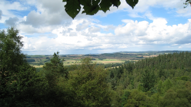
The monument includes a hillfort of Iron Age date and a later medieval tower
situated on Castle Hill, commanding extensive views in all directions. The
irregularly shaped hillfort measures a total of 225m east to west by 115m
north to south and exhibits several phases of activity. The main enclosure on
the hilltop is roughly sub-rectangular in shape and is 80m east-west by 50m
north-south; it is surrounded on three sides by a rock cut ditch 12-17m wide
and 3m-7m deeper than the internal ground level. There is a counterscarp bank
4m wide which rises 2m-3m above the external ground level and an internal bank
3m wide and 0.8m high. The northern side of the enclosure is defended by a
strongly scarped bank. Two opposing entrances in the east and west sides are
carried on causeways across the ditch. Within the enclosure there are the
remains of two rectangular buildings in the north-west corner. They measure
15m by 13m and 15m by 8m. These are interpreted as the remains of Old Callaly
Castle known from documentary sources to have been held by Sir John Clavering
in 1415. The use of the term Old Callaly suggests that the later tower, around
which the present castle was built, was already standing in 1415 and that this
earlier tower on Castle Hill was retained as a place of defence or a lookout.
West of the main enclosure there are two contiguous annexes, the inner one
defended by a bank 7m wide giving access to the second defended by a bank 4m
wide. More than one period may be represented by the remains on Castle Hill
and the strong ditch may be a later medieval feature associated with the
medieval tower, this being constructed within the earlier defensive system. In
the late 19th century several Bronze Age stone coffins were discoverd during
quarrying on the north side of Castle Hill.
MAP EXTRACT
The site of the monument is shown on the attached map extract.
Source: Historic England
Slight univallate hillforts are defined as enclosures of various shapes,
generally between 1ha and 10ha in size, situated on or close to hilltops and
defined by a single line of earthworks, the scale of which is relatively
small. They date to between the Late Bronze Age and Early Iron Age (eighth -
fifth centuries BC), the majority being used for between 150 and 200 years
prior to their abandonment or reconstruction. Slight univallate hillforts have
generally been interpreted as stock enclosures, redistribution centres, places
of refuge and permanent settlements. The earthworks generally include a
rampart, narrow level berm, external ditch and counterscarp bank, while access
to the interior is usually provided by two entrances comprising either simple
gaps in the earthwork or an inturned rampart. Postholes revealed by excavation
indicate the occasional presence of portal gateways while more elaborate
features like overlapping ramparts and outworks are limited to only a few
examples. Internal features include square or rectangular buildings supported
by four to six postholes and interpreted as raised granaries, timber or stone
round houses, large storage pits and hearths as well as scattered postholes,
stakeholes and gullies. Slight univallate hillforts are rare with around 150
examples recorded nationally. Although on a national scale the number is low,
in Devon they comprise one of the major classes of hillfort. In other areas
where the distribution is relatively dense, for example, Wessex, Sussex, the
Cotswolds and the Chilterns, hillforts belonging to a number of different
classes occur within the same region. Examples are also recorded in eastern
England, the Welsh Marches, central and southern England. In view of the
rarity of slight univallate hillforts and their importance in understanding
the transition between Bronze Age and Iron Age communities, all examples which
survive comparatively well and have potential for the recovery of further
archaeological remains are believed to be of national importance.
The hillfort on Castle Hill is exceptionally well preserved. Its situation and
the scale of its defences show that it was a settlement of some importance in
the region. It will contribute to our understanding of the range and nature of
prehistoric settlement in the area at this time. The good defensive nature of
the site led to its re-use during the medieval period; subsequently the
medieval tower was abandoned in favour of a new location at the foot and to
the west of the hill. Hence the site will retain significant and largely
undisturbed remains of this early medieval activity and will contribute to any
study of the development of the adjacent castle.
Source: Historic England
Books and journals
Hope-Dodds, M , The Victoria History of the County of Northumberland: Volume XIV, (1935), 527
Jobey, G, 'Archaeologia Aeliana' in Hill Forts and Settlements in Northumberland, (1965), 43-44
Other
NU 00 NE 03,
Source: Historic England
Other nearby scheduled monuments