Approximate Location Map
Large Map »
This site is entirely user-supported. See how you can help.
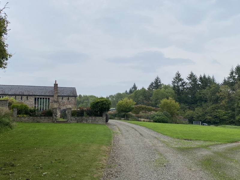
If Google Street View is available, the image is from the best available vantage point looking, if possible, towards the location of the monument. Where it is not available, the satellite view is shown instead.
Latitude: 52.1882 / 52°11'17"N
Longitude: -2.7551 / 2°45'18"W
OS Eastings: 348474.347152
OS Northings: 254704.828785
OS Grid: SO484547
Mapcode National: GBR FJ.4972
Mapcode Global: VH852.68BD
Entry Name: Ivington Camp multivallate hillfort
Scheduled Date: 24 June 1935
Last Amended: 16 April 1999
Source: Historic England
Source ID: 1018856
English Heritage Legacy ID: 21624
County: Herefordshire,
Civil Parish: Birley with Upper Hill
Traditional County: Herefordshire
Lieutenancy Area (Ceremonial County): Herefordshire
Church of England Parish: Ivington
Church of England Diocese: Hereford
The monument is situated approximately 1km south east of Ivington Park and
includes the earthwork and buried remains of large multivallate hillfort and
those of a slight univallate hillfort which is believed to have preceded it.
The site occupies the south western end of a ridge where the ground falls away
in all directions except the north east. The original univallate hillfort
occupies the north western part of the site and is defined along its south and
east sides by a crescent-shaped rampart. In 1996 archaeological recording of a
31m length of the rampart recovered evidence for a row of post holes along
this entire section, indicating that a revetment of vertical timbers
originally rose through the middle of the rampart in order to strengthen it. A
watching brief, also undertaken in 1996, demonstrated that a ditch, which has
become infilled over time, runs parallel with the east side of the rampart and
survives as a buried feature.
The defences of the multivallate hillfort closely follow the contours of the
hill except on the northern half of the east side and include a substantial
inner bank and ditch with intermittent traces of a second bank beyond which,
on the east side of the hillfort, is an outer ditch. The north side is thought
to have been defended by an inner rampart with an outer ditch and parapet but
the two latter features have become flattened and now form a rough berm,
whilst the north west corner of the site has been affected by later quarrying.
Original access to the interior of the multivallate hillfort is by means of at
least two entrances, an inturned one at the north east end of the site, and an
elaborate southern entrance. The latter takes the form of a curving, sunken
entranceway bounded on its north side by the rising hillside and by a rampart
and outer ditch along its south and east sides together with additional
complex outworks which include a small flattened spur which is believed to
have formed a command point.
The interior is divided into two enclosures by the crescent-shaped rampart of
the original hillfort and the level of the western enclosure; that is, the
interior of the earlier hillfort, is approximately 1.8m higher than that to
the east. The central part of the interior is now occupied by the buildings of
Camp Farm which are considered to have so modified the site in this area that
it is totally excluded from the scheduling. In 1996 a narrow trench was
excavated running south west from the north eastern corner of the site to Camp
Farm. This revealed shallow gulleys, post holes and layers of limestone rubble
associated with the occupation of the site; Iron Age pottery and briquetage
(ceramic salt containers) were also recovered. The buried remains of further
internal structures will survive beneath the ground surface.
All fence posts, the surfaces of all paths and driveways and the pheasant pens
are excluded from the scheduling, although the ground beneath these features
is included.
MAP EXTRACT
The site of the monument is shown on the attached map extract.
Source: Historic England
Large multivallate hillforts are defined as fortified enclosures of between
5ha and 85ha in area, located on hills and defined by two or more lines of
concentric earthworks set at intervals of up to 15m. They date to the Iron
Age period, most having been constructed and used between the sixth century BC
and the mid-first century AD. They are generally regarded as centres of
permanent occupation, defended in response to increasing warfare, a reflection
of the power struggle between competing elites.
Earthworks usually consist of a rampart and ditch, although some only have
ramparts. Access to the interior is generally provided by two entrances
although examples with one and more than two have been noted. These may
comprise a single gap in the rampart, inturned or offset ramparts,
oblique approaches, guardrooms or outworks. Internal features generally
include evidence for intensive occupation, often in the form of oval or
circular houses. These display variations in size and are often clustered,
for example, along streets. Four- and six-post structures, interpreted as
raised granaries, also occur widely while a few sites appear to contain
evidence for temples. Other features associated with settlement include
platforms, paved areas, pits, gullies, fencelines, hearths and ovens.
Additional evidence, in the form of artefacts, suggests that industrial
activity such as bronze- and iron-working as well as pottery manufacture
occurred on many sites.
Large multivallate hillforts are rare with around 50 examples recorded
nationally. These occur mostly in two concentrations, in Wessex and the Welsh
Marches, although scattered examples occur elsewhere.
In view of the rarity of large multivallate hillforts and their importance in
understanding the nature of social organisation within the Iron Age period,
all examples with surviving archaeological potential are believed to be of
national importance.
Ivington Camp survives well and represents a good example of this class of
monument. Its commanding position not only provided defence, but also
displayed the status of its buildiers. Part excavation and a watching brief
have demonstrated that, despite regular ploughing, the site retains buried
structural and artefactual evidence associated with its occupation. Such
remains will also contribute to an understanding of the development of the
site, in particular the adaptation of the original univallate hillfort when it
was incorporated within the subsequent multivallate one. The internal features
and the defensive ditches will also provide environmental information relating
to the site's inhabitants and the landscape in which they lived.
Source: Historic England
Books and journals
Royal Commission on Historical Monuments, , An Inventory of the Historical Monuments in Herefordshire 3, (1934), 131-33
Dalwood, H, Pearson, H, Ratkai, S, 'Hereford and Worcester County Sites and Monuments Record' in Salvage Recording at Ivington Camp, Leominster, , Vol. 507, (1997)
Stirling-Brown, R, 'Herefordshire Archaeological News' in Field Meeting in the Stretford Area, , Vol. 60, (1993), 50-8
Source: Historic England
Other nearby scheduled monuments