Approximate Location Map
Large Map »
This site is entirely user-supported. See how you can help.
If Google Street View is available, the image is from the best available vantage point looking, if possible, towards the location of the monument. Where it is not available, the satellite view is shown instead.
Latitude: 51.5751 / 51°34'30"N
Longitude: -1.5692 / 1°34'9"W
OS Eastings: 429947.311914
OS Northings: 186332.954671
OS Grid: SU299863
Mapcode National: GBR 5WW.626
Mapcode Global: VHC0Z.RN8X
Entry Name: Uffington Castle: a univallate hillfort immediately north of the Ridgeway on Whitehorse Hill
Scheduled Date: 3 March 1922
Last Amended: 14 December 1995
Source: Historic England
Source ID: 1008412
English Heritage Legacy ID: 21778
County: Oxfordshire
Civil Parish: Uffington
Traditional County: Berkshire
Lieutenancy Area (Ceremonial County): Oxfordshire
Church of England Parish: Uffington
Church of England Diocese: Oxford
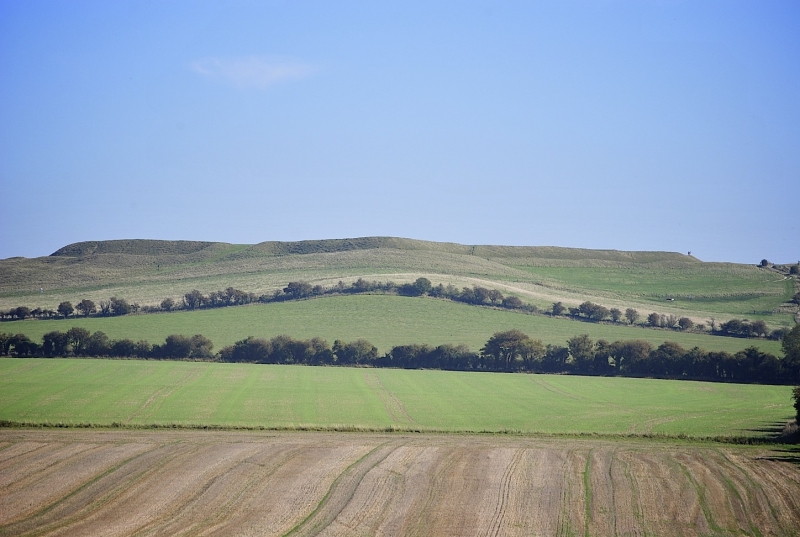
The monument includes a large Iron Age univallate hillfort known as Uffington
Castle, situated immediately north of the Ridgeway on Whitehorse Hill. The
hillfort has an internal enclosure covering 3.2ha with maximum dimensions of
220m from west to east and 160m from north to south. This is surrounded by a
single bank c.12m wide and c.2.5m high inside a ditch 15m wide which is now
partially infilled but which survives as a grass covered feature c.3m deep.
This is surrounded by a counterscarp bank c.8m wide and up to 1m high.
The hillfort has a single entrance to the west in the form of a causeway
flanked by the out turned ends of the inner rampart. These then turn back
around the terminal ditch ends to join the counterscarp bank. The site has
been the subject of a number of partial excavations, notably in 1850 and 1990,
and it is known from this that the rampart and gateway had several phases of
construction. The main rampart consisted of timber bracing and chalk rubble
with the inner face lined with sarsen stone. Recent geophysical survey work
has shown that evidence of further features, including postholes and pits,
survive in the interior of the hillfort, despite it having been ploughed in
the Middle Ages and containing earthworks representing ridge and furrow
cultivation.
The monument is closely associated in local tradition with the White Horse
hill figure nearby, while pottery and coins from the period of the hillfort's
occupation have been found on the burial monuments further down slope.
MAP EXTRACT
The site of the monument is shown on the attached map extract.
It includes a 2 metre boundary around the archaeological features,
considered to be essential for the monument's support and preservation.
Source: Historic England
Large univallate hillforts are defined as fortified enclosures of varying
shape, ranging in size between 1ha and 10ha, located on hilltops and
surrounded by a single boundary comprising earthworks of massive proportions.
They date to the Iron Age period, most having been constructed and used
between the fourth century BC and the first century AD, although evidence for
earlier use is present at most sites. The size of the earthworks reflects the
ability of certain social groups to mobilise the labour necessary for works on
such a monumental scale, and their function may have had as much to do with
display as defence. Large univallate hillforts are also seen as centres of
redistribution, both for subsistence products and items produced by craftsmen.
The ramparts are of massive proportions except in locations where steepness of
slope precludes easy access. They can vary between 6m and 20m wide and may
survive to a height of 6m. The ditches can measure between 6m and 13m wide and
between 3m and 5m deep. Access to the interior is generally provided by one or
two entrances which often take the form of long passages formed by inturned
ramparts and originally closed by a gate located towards the inner end of the
passageway. The entrance may be flanked by guardrooms and/or accompanied by
outworks. Internal features included timber or stone round houses; large
storage pits and hearths; scattered postholes, stakeholes and gullies; and
square or rectangular buildings supported by four to six posts, often
represented by postholes, and interpreted as raised granaries. Large
univallate hillforts are rare with between 50 and 100 examples recorded
nationally. Most are located within southern England where they occur on the
chalklands of Wessex, Sussex and Kent. The western edge of the distribution is
marked by scattered examples in north Somerset and east Devon, while further
examples occur in central and western England and outliers further north.
Within this distribution considerable regional variation is apparent, both in
their size, rampart structure and the presence or absence of individual
components. In view of the rarity of large univallate hillforts and their
importance in understanding the organisation and regional structure of Iron
Age society, all examples with surviving archaeological remains are believed
to be of national importance.
Uffington Castle survives as a well known and outstanding example of its
class. Our understanding of the monument has been enhanced by partial
excavation and geophysical survey from which the site is known to contain
archaeological and environmental evidence relating to its construction and the
landscape in which it was built. This is one of a number of monuments on
Whitehorse Hill which represent an unusual grouping of secular and burial
sites dating from the Neolithic to Saxon periods. Together these provide
an insight into changes in religious and secular needs and beliefs over a
period of more than four thousand years.
Source: Historic England
Books and journals
'Berkshire Archaeological Journal' in Uffington Castle, , Vol. LX, (1962), 48
O'Connor, , Startin, , 'Oxoniensia' in Uffington Castle, , Vol. XL, (1975), 325
Other
Miles, D, Uffington Castle, 1975, Excavation report (summary)
PRN 7302, C.A.O., White Horse Hill Figure, (1976)
PRN 7304 (2), C.A.O., HILLFORT, (1976)
PRN 7304, C.A.O., HILLFORT, (1976)
Uffington Castle and area, Ancient Monuments Laboratory, White Horse Hill Location of Magnetometer Surveys, (1993)
With S. Palmer, Jeffery, PP, Uffington Castle, (1993)
Source: Historic England
Other nearby scheduled monuments