Approximate Location Map
Large Map »
This site is entirely user-supported. See how you can help.
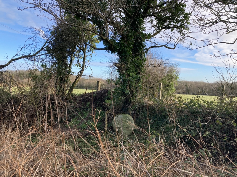
If Google Street View is available, the image is from the best available vantage point looking, if possible, towards the location of the monument. Where it is not available, the satellite view is shown instead.
Latitude: 50.4388 / 50°26'19"N
Longitude: -4.8246 / 4°49'28"W
OS Eastings: 199520.287096
OS Northings: 63701.004718
OS Grid: SW995637
Mapcode National: GBR ZV.SG0B
Mapcode Global: FRA 07SW.N7G
Entry Name: Inchs Cross, 200m south-west of Inchs
Scheduled Date: 28 November 1932
Last Amended: 18 January 1994
Source: Historic England
Source ID: 1007969
English Heritage Legacy ID: 24279
County: Cornwall
Civil Parish: Withiel
Traditional County: Cornwall
Lieutenancy Area (Ceremonial County): Cornwall
Church of England Parish: Withiel
Church of England Diocese: Truro
The monument includes a medieval wayside cross, known as Inchs Cross, situated
near the hamlet of Inchs between Withiel and Roche, on a parish church path
and a north-south route across mid Cornwall linking Wadebridge with St
Austell.
Inchs Cross survives as an upright granite shaft with a round or 'wheel' head,
measuring 0.81m in overall height. The head is 0.6m in diameter and 0.2m
thick. Each principal face of the head bears a low relief, equal-limbed cross
0.6m high and 0.6m wide, with expanded limbs extending to the perimeter of the
head. The rectangular shaft is 0.21m high to the neck, and is 0.37m wide and
0.23m thick.
The Inchs Cross stands beside a north-south road leading north in the parish
directly towards the church at Withiel, one of several church paths that
radiate from that church and village and survive as footpaths or minor roads.
On a larger scale, the cross marks the approximate midpoint of a route across
mid-Cornwall linking the towns of Wadebridge on the north coast and St Austell
on the south. The cross has always been recorded in its present position and
in 1896 the historian A G Langdon recorded a belief that much of the shaft lay
buried beneath the ground.
MAP EXTRACT
The site of the monument is shown on the attached map extract.
It includes a 2 metre boundary around the archaeological features,
considered to be essential for the monument's support and preservation.
Source: Historic England
Wayside crosses are one of several types of Christian cross erected during the
medieval period, mostly from the 9th to 15th centuries AD. In addition to
serving the function of reiterating and reinforcing the Christian faith
amongst those who passed the cross and of reassuring the traveller, wayside
crosses often fulfilled a role as waymarkers, especially in difficult and
otherwise unmarked terrain. The crosses might be on regularly used routes
linking ordinary settlements or on routes having a more specifically religious
function, including those providing access to religious sites for parishioners
and funeral processions, or marking long-distance routes frequented on
pilgrimages.
Over 350 wayside crosses are known nationally, concentrated in south-west
England throughout Cornwall and on Dartmoor where they form the commonest type
of stone cross. A small group also occurs on the North York Moors. Relatively
few examples have been recorded elsewhere and these are generally confined to
remote moorland locations.
Outside Cornwall almost all wayside crosses take the form of a 'latin' cross,
in which the cross-head itself is shaped with the projecting arms of an
unenclosed cross. In Cornwall wayside crosses vary considerably in form and
decoration. The commonest type includes a round, or 'wheel', head on the faces
of which various forms of cross or related designs were carved in relief or
incised, the spaces between the cross arms possibly pierced. The design was
sometimes supplemented with a relief figure of Christ and the shaft might bear
decorative panels and motifs. Less common forms in Cornwall include the
'Latin' cross and, much rarer, the simple slab with a low relief cross on both
faces. Rare examples of wheel-head and slab-form crosses also occur within the
North York Moors group. Most wayside crosses have either a simple socketed
base or show no evidence for a separate base at all.
Wayside crosses contribute significantly to our understanding of medieval
religious customs and sculptural traditions and to our knowledge of medieval
routeways and settlement patterns. All wayside crosses which survive as earth-
fast monuments, except those which are extremely damaged and removed from
their original locations, are considered worthy of protection.
The Inchs Cross has survived well, earlier records indicating no removal from
its present position as a marker on a parish church path and a regional route.
It forms a good example of a wheel-headed cross; the location of this cross
demonstrates well the major function of wayside crosses and shows clearly the
longevity of many routes still in use.
Source: Historic England
Books and journals
Langdon, A G, Old Cornish Crosses, (1896)
Other
AM7 scheduling documentation for CO 205, consulted 1993
consulted 1993, Cornwall SMR entry for PRN 21485,
Title: 1:25000 Ordnance Survey Map; SW 86/96; Pathfinder Series 1346
Source Date: 1985
Author:
Publisher:
Surveyor:
Source: Historic England
Other nearby scheduled monuments