Approximate Location Map
Large Map »
This site is entirely user-supported. See how you can help.
If Google Street View is available, the image is from the best available vantage point looking, if possible, towards the location of the monument. Where it is not available, the satellite view is shown instead.
Latitude: 55.1122 / 55°6'43"N
Longitude: -2.2854 / 2°17'7"W
OS Eastings: 381888.178
OS Northings: 579790.125
OS Grid: NY818797
Mapcode National: GBR D9HB.07
Mapcode Global: WH90C.VRWS
Entry Name: Medieval wayside cross, 300m west of Bridge House
Scheduled Date: 1 March 1968
Last Amended: 12 April 1994
Source: Historic England
Source ID: 1008565
English Heritage Legacy ID: 25063
County: Northumberland
Civil Parish: Wark
Traditional County: Northumberland
Lieutenancy Area (Ceremonial County): Northumberland
Church of England Parish: Wark St Michael
Church of England Diocese: Newcastle
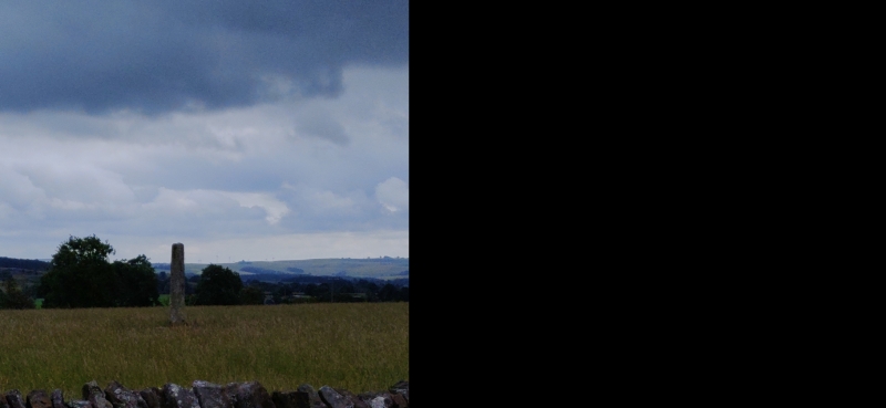
A medieval cross is situated 25m east of a road on high ground above the
Houxty Burn. The cross is visible as a socket stone measuring 0.79m by 0.74m
with a worn step; it is well embedded in the ground but stands to a height of
0.38m above ground level. There is a central socket hole, in which stands a
stone shaft 0.4m by 0.35m and 1.8m high with its top broken off. The shaft has
wide chamfered edges. The cross is thought to be a wayside cross of 13th
century date. There is a tradition of a fair having been held at the cross; in
1926 and 1936 four Elizabethan silver coins were found near it.
This cross is also listed grade II.
MAP EXTRACT
The site of the monument is shown on the attached map extract.
Source: Historic England
Wayside crosses are one of several types of Christian cross erected during the
medieval period, mostly from the 9th to 15th centuries AD. In addition to
serving the function of reiterating and reinforcing the Christian faith
amongst those who passed the cross and of reassuring the traveller, wayside
crosses often fulfilled a role as waymarkers, especially in difficult and
otherwise unmarked terrain. The crosses might be on regularly used routes
linking ordinary settlements or on routes having a more specifically religious
function, including those providing access to religious sites for parishioners
and funeral processions, or marking long-distance routes frequented on
pilgrimages.
Over 350 wayside crosses are known nationally, concentrated in south-west
England throughout Cornwall and on Dartmoor where they form the commonest type
of stone cross. A small group also occurs on the North York Moors. Relatively
few examples have been recorded elsewhere and these are generally confined to
remote moorland locations.
Outside Cornwall almost all wayside crosses take the form of a 'latin' cross,
in which the cross-head itself is shaped with the projecting arms of an
unenclosed cross. In Cornwall wayside crosses vary considerably in form and
decoration. The commonest type includes a round, or 'wheel', head on the faces
of which various forms of cross or related designs were carved in relief or
incised, the spaces between the cross arms possibly pierced. The design was
sometimes supplemented with a relief figure of Christ and the shaft might bear
decorative panels and motifs. Less common forms in Cornwall include the
'Latin' cross and, much rarer, the simple slab with a low relief cross on both
faces. Rare examples of wheel-head and slab-form crosses also occur within the
North York Moors group. Most wayside crosses have either a simple socketed
base or show no evidence for a separate base at all.
Wayside crosses contribute significantly to our understanding of medieval
religious customs and sculptural traditions and to our knowledge of medieval
routeways and settlement patterns. All wayside crosses which survive as earth-
fast monuments, except those which are extremely damaged and removed from
their original locations, are considered worthy of protection.
The medieval cross near Bridge House survives very well, despite the loss of
its cross head. It is a good example of a wayside cross in Northumberland.
Source: Historic England
Books and journals
Hope-Dodds, M, The Victoria History of the County of Northumberland: Volume XV, (1940), 295
Other
NY 87 NW 01,
RAF vertical coverage 1946,
Source: Historic England
Other nearby scheduled monuments