Approximate Location Map
Large Map »
This site is entirely user-supported. See how you can help.
If Google Street View is available, the image is from the best available vantage point looking, if possible, towards the location of the monument. Where it is not available, the satellite view is shown instead.
Latitude: 54.4983 / 54°29'53"N
Longitude: -1.0645 / 1°3'52"W
OS Eastings: 460683.208
OS Northings: 511842.422
OS Grid: NZ606118
Mapcode National: GBR PJ0F.B8
Mapcode Global: WHF8L.M69C
Entry Name: Percy Cross on Percy Cross Rigg 850m north east of Oak Tree Farm
Scheduled Date: 28 March 1939
Last Amended: 31 July 1995
Source: Historic England
Source ID: 1011968
English Heritage Legacy ID: 25666
County: North Yorkshire
Civil Parish: Great Ayton
Traditional County: Yorkshire
Lieutenancy Area (Ceremonial County): North Yorkshire
Church of England Parish: Kildale St Cuthbert
Church of England Diocese: York
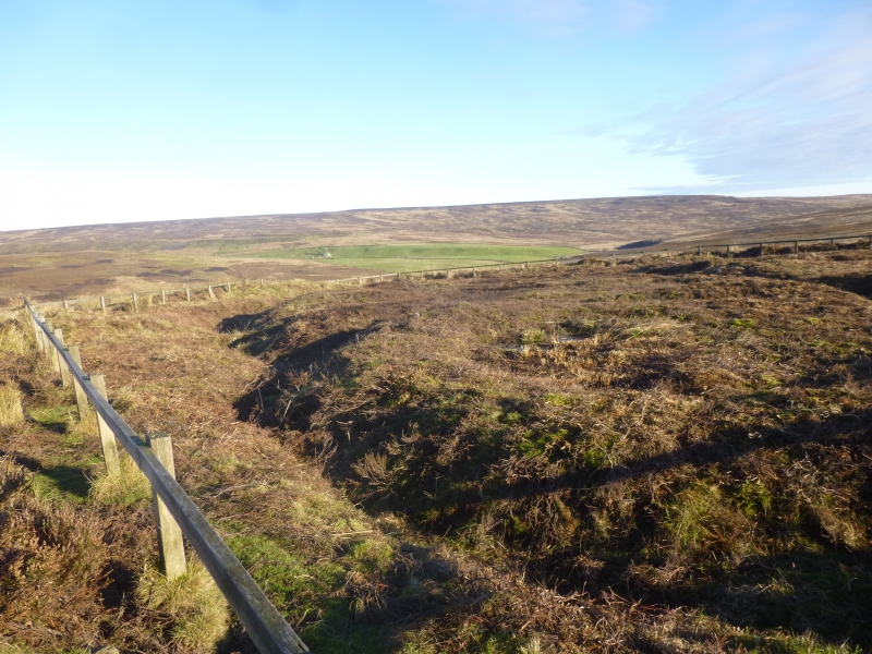
The monument comprises a cross base with the broken remains of the shaft
cemented into the socket. It stands on the east side of the road from Percy
Cross Farm to the open heathland on Kildale Moor. The road represents the
medieval trackway to the upland grazing and the cross is a waymarker for that
route. The cross also marks the boundary of the abbey lands of Guisborough
Priory and is mentioned in a deed of the 13th century.
The base of the cross is of fine gritstone and measures 0.62m on the north
side and 0.51m on the west side. It stands 0.44m high above ground. The socket
hole measures 0.3m by 0.24m. In this socket is the shaft which is broken off
level with the top of the base and sufficiently worn to suggest that it was
broken off many years ago. The shaft has an iron pin leaded into the broken
shaft and also broken off short.
The base is earthfast but the ground has been eroded on the west side by the
digging of a drainage ditch beside the road.
The base is Listed Grade II.
MAP EXTRACT
The site of the monument is shown on the attached map extract.
It includes a 2 metre boundary around the archaeological features,
considered to be essential for the monument's support and preservation.
Source: Historic England
Wayside crosses are one of several types of Christian cross erected during the
medieval period, mostly from the 9th to 15th centuries AD. In addition to
serving the function of reiterating and reinforcing the Christian faith
amongst those who passed the cross and of reassuring the traveller, wayside
crosses often fulfilled a role as waymarkers, especially in difficult and
otherwise unmarked terrain. The crosses might be on regularly used routes
linking ordinary settlements or on routes having a more specifically religious
function, including those providing access to religious sites for parishioners
and funeral processions, or marking long-distance routes frequented on
pilgrimages.
Over 350 wayside crosses are known nationally, concentrated in south west
England throughout Cornwall and on Dartmoor where they form the commonest type
of stone cross. A small group also occurs on the North York Moors. Relatively
few examples have been recorded elsewhere and these are generally confined to
remote moorland locations.
Outside Cornwall almost all wayside crosses take the form of a `Latin' cross,
in which the cross-head itself is shaped within the projecting arms of an
unenclosed cross. In Cornwall wayside crosses vary considerably in form and
decoration. The commonest type includes a round, or `wheel', head on the faces
of which various forms of cross or related designs were carved in relief or
incised, the spaces between the cross arms possibly pierced. The design was
sometimes supplemented with a relief figure of Christ and the shaft might bear
decorative panels and motifs. Less common forms in Cornwall include the
`Latin' cross and, much rarer, the simple slab with a low relief cross on both
faces. Rare examples of wheel-head and slab-form crosses also occur within the
North York Moors group. Most wayside crosses have either a simple socketed
base or show no evidence for a separate base at all.
Wayside crosses contribute significantly to our understanding of medieval
religious customs and sculptural traditions and to our knowledge of medieval
routeways and settlement patterns. All wayside crosses which survive as earth-
fast monuments, except those which are extremely damaged and removed from
their original locations, are considered worthy of protection.
The cross on Percy Cross Rigg is not only a wayside cross which defines the
medieval route from Kildale to the upland grazing on Kildale Moor, it is also
mentioned in the chartulary of Guisborough Priory in a 13th century deed as
one of the markers of the boundary of the monastic lands.
The cross survives well in spite of the loss of its shaft and head.
The cross gives us insight into the medieval Christian organisation of the
landscape and the reverence expected of travellers during this era.
Source: Historic England
Other nearby scheduled monuments