Approximate Location Map
Large Map »
This site is entirely user-supported. See how you can help.
If Google Street View is available, the image is from the best available vantage point looking, if possible, towards the location of the monument. Where it is not available, the satellite view is shown instead.
Latitude: 50.8633 / 50°51'47"N
Longitude: -0.4182 / 0°25'5"W
OS Eastings: 511417.447304
OS Northings: 108282.724516
OS Grid: TQ114082
Mapcode National: GBR GKJ.WL5
Mapcode Global: FRA B60T.GWN
Entry Name: Flint mine and a bowl barrow on Church Hill, 400m south west of Findon Place
Scheduled Date: 22 January 1935
Last Amended: 2 January 1997
Source: Historic England
Source ID: 1015238
English Heritage Legacy ID: 29245
County: West Sussex
Civil Parish: Findon
Traditional County: Sussex
Lieutenancy Area (Ceremonial County): West Sussex
Church of England Parish: Findon, Clapham and Patching
Church of England Diocese: Chichester
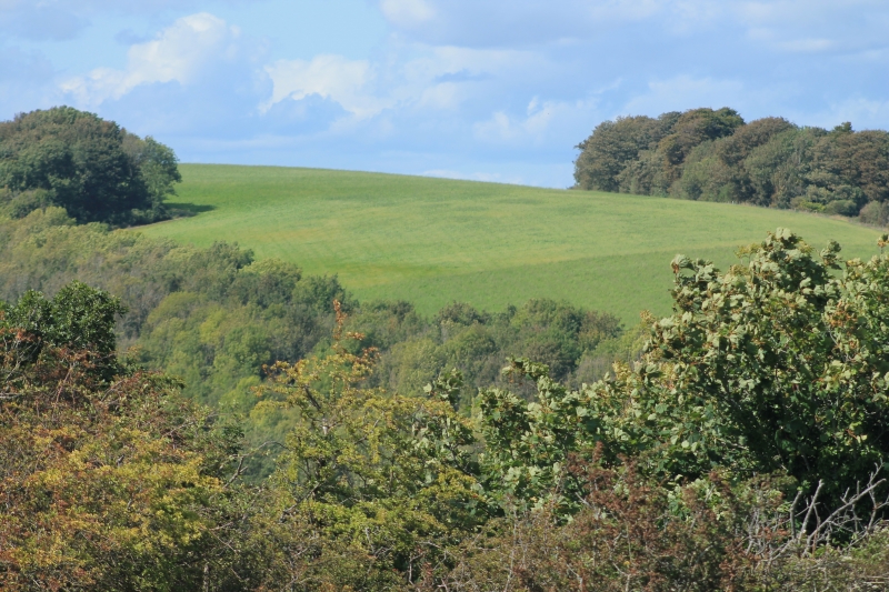
The monument includes a prehistoric flint mine and a bowl barrow situated on a
chalk hill which forms part of the Sussex Downs. The flint mine, which has
been mostly levelled by modern ploughing, survives as a group of around 36
roughly circular, infilled shafts visible as crop marks on aerial photographs.
The monument was partly excavated between 1933 and 1945, when six shafts were
investigated, and between 1984 and 1986. The shafts were found to be between
0.9m-1.8m deep and contained horizontal galleries excavated along the seams of
flint. Pottery sherds dating from the Late Neolithic period and the
Early-Middle Bronze Age were found at the shaft bottoms, as was an antler pick
dated by radio-carbon analysis to c.4300 BC. A Late Neolithic-Early Bronze Age
cremation burial contained in a beaker-style urn was discovered in the upper
face of one shaft, and several pictograms, or engraved designs, were found
above the entrances to the galleries and on the gallery roofs. Traces of
working areas and structures associated with the processing of the mined
flint, including a circular timber building, have been identified in the areas
between and around the shafts.
The bowl barrow, also largely levelled by modern cultivation, is situated in
the south eastern sector of the monument and partly overlies an earlier,
infilled mine shaft. The barrow is recorded as having a circular mound
c.15.5m in diameter with a central hollow, indicating past, part excavation.
MAP EXTRACT
The site of the monument is shown on the attached map extract.
It includes a 2 metre boundary around the archaeological features,
considered to be essential for the monument's support and preservation.
Source: Historic England
Flint mines are found where, during Neolithic and Early Bronze Age times
(c.3500-1200 BC), nodules of flint were extracted from underground seams
within chalk deposits. There is no pattern or regular form to the arrangement
of mine sites as the shafts, pits or open-cast workings are closely related to
the underlying supplies of flint rather than an overall scheme of how the mine
should be organised. In general, however, the shafts, pits and spoil heaps are
closely packed together and sometimes even abut one another. In overall size,
flint mines range from single shafts and associated works covering less than
1ha, to large mines of several hundred shafts spread over an extensive area.
Flint mines provided high quality flint for implement manufacture in the
millennia before the widespread availability of metal; the discovery of
ceremonial deposits, including carved objects, in some shafts indicates the
importance ascribed to them by early prehistoric communities. The workings
were excavated by hand with antler picks and a selection of specialist bone,
antler, wood and flint tools. Extensive flint knapping floors, areas where the
mined flint was worked, are sometimes found within and around the mine area,
along with hearths and traces of timber buildings. Evidence of secondary uses
of abandoned flint mines is fairly common, and human burials dating from
Neolithic times onwards are regularly found in the upper fills of pits and
shafts. The hollows left in the tops of infilled shafts also provided suitable
areas for occupation long after the mines themselves had gone out of use.
The distribution of flint mines is largely dictated by the extent of the Upper
Chalk, which is the geological band in which seams of flint occur. Flint mines
are known in most areas of Upper Chalk outcrops and generally occur on the
tops of hills or ridges, or along their flanking slopes, from Norfolk to
Dorset. The earliest sites, dating to the Early and Middle Neolithic period,
are clustered on the Sussex Downs.
Flint mines are a rare monument type, with only around 20 examples known
nationally. One of relatively few classes of monuments dating to all phases of
the Neolithic period, they contain evidence relating to technology and work
organisation in the period and represent the source of the most commonly used
and widespread material available for making edged tools and implements. All
well-preserved examples are considered to be of national importance.
Bowl barrows, the most numerous form of round barrow, are funerary monuments
dating from the Late Neolithic period to the Late Bronze Age, with most
examples belonging to the period 2400-1500 BC. They were constructed as
earthen or rubble mounds, sometimes ditched, which covered single or multiple
burials and occur either in isolation or grouped as cemeteries. There are over
10,000 surviving bowl barrows recorded nationally (many more have already been
destroyed) across most of lowland Britain. Often occupying prominent
locations, they are a major historic element in the modern landscape,
providing important information on the diversity of beliefs and social
organisation amongst prehistoric communities. They are particularly
representative of their period and a substantial proportion of surviving
examples are considered worthy of protection.
Although it has been levelled by modern ploughing, the flint mine on Church
Hill survives comparatively well and has been shown by part excavation to
contain archaeological remains and environmental evidence relating to its
original use. The close association of the flint mine with the broadly
contemporary bowl barrow, and with another prehistoric flint mine and a cross
dyke situated 600m to the north west, provides important evidence for the
relationship between mining activity, land division and burial rites during
the prehistoric period.
Source: Historic England
Books and journals
Holgate, R, Prehistoric Flint Mines, (1991), various
Source: Historic England
Other nearby scheduled monuments