Approximate Location Map
Large Map »
This site is entirely user-supported. See how you can help.
If Google Street View is available, the image is from the best available vantage point looking, if possible, towards the location of the monument. Where it is not available, the satellite view is shown instead.
Latitude: 54.4267 / 54°25'36"N
Longitude: -0.9502 / 0°57'0"W
OS Eastings: 468207.447651
OS Northings: 503985.433305
OS Grid: NZ682039
Mapcode National: GBR PKT7.2X
Mapcode Global: WHF8V.CZSS
Entry Name: High Stone Dike, southern of two cross dykes on Castleton Rigg
Scheduled Date: 4 February 1999
Source: Historic England
Source ID: 1018770
English Heritage Legacy ID: 30198
County: North Yorkshire
Civil Parish: Danby
Traditional County: Yorkshire
Lieutenancy Area (Ceremonial County): North Yorkshire
Church of England Parish: Westerdale Christ Church
Church of England Diocese: York
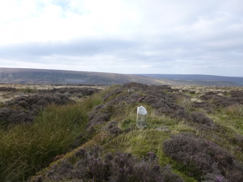
The monument includes the buried and earthwork remains of a prehistoric
boundary, a cross dyke, which runs across the spine of Castleton Rigg. A
second cross dyke, which is the subject of a separate scheduling, lies 750m
to the north.
The cross dyke is formed by a 4m wide bank standing up to 1m high, with an
adjacent 4m wide and up to 0.3m deep ditch running along its south side. The
bank is not symmetrical in cross section, being steeper on the side facing the
ditch. The dyke runs in a straight line approximately east to west over fairly
level ground, and ends to the west at the top of the steep scarp down into
Westerdale, forming a right angle to the scarp. The eastern end of the dyke
has been truncated by quarrying and the modern road that runs up the spine of
the rigg.
MAP EXTRACT
The site of the monument is shown on the attached map extract.
It includes a 2 metre boundary around the archaeological features,
considered to be essential for the monument's support and preservation.
Source: Historic England
Cross dykes are substantial linear earthworks typically between 0.2km and 1km
long and comprising one or more ditches arranged beside and parallel to one or
more banks. They generally occur in upland situations, running across ridges
and spurs. They are recognised as earthworks or as cropmarks on aerial
photographs, or as combinations of both. The evidence of excavation and
analogy with associated monuments demonstrates that their construction spans
the millennium from the Middle Bronze Age, although they may have been re-used
later. Current information favours the view that they were used as territorial
boundary markers, probably demarcating land allotment within communities,
although they may also have been used as trackways, cattle droveways or
defensive earthworks. Cross dykes are one of the few monument types which
illustrate how land was divided up in the prehistoric period. They are of
considerable importance for any analysis of settlement and land use in the
Bronze Age. Very few have survived to the present day and hence all well-
preserved examples are considered to be of national importance.
High Stone Dike is a relatively well preserved earthwork example of a Bronze
Age boundary feature. The bank will overlie and preserve prehistoric soil
layers and the ditch will contain a series of infilled sediments which will
provide valuable information about the local environment in the Bronze Age.
Its importance is enhanced by the survival of a second cross dyke 750m to the
north.
Source: Historic England
Books and journals
Harding, A F, Ostoja-Zagorski, J, 'Archaeological Journal' in Prehistoric and Early Medieval Activity on Danby Rigg, N Yorks, , Vol. 151, (1994), 73-82
Vyner, B E, 'CBA Research Report 101: Moorland Monuments' in The Brides Of Place: Cross-Ridge Boundaries Reviewed, (1995), 16-30
Source: Historic England
Other nearby scheduled monuments