Approximate Location Map
Large Map »
This site is entirely user-supported. See how you can help.
If Google Street View is available, the image is from the best available vantage point looking, if possible, towards the location of the monument. Where it is not available, the satellite view is shown instead.
Latitude: 54.4688 / 54°28'7"N
Longitude: -0.7025 / 0°42'8"W
OS Eastings: 484189.713351
OS Northings: 508929.345025
OS Grid: NZ841089
Mapcode National: GBR RJJR.QV
Mapcode Global: WHG9X.5YR1
Entry Name: Round barrow and two standing stones in Hutton Mulgrave Plantation, 115m west of Swarth Howe
Scheduled Date: 16 October 1975
Last Amended: 2 July 1999
Source: Historic England
Source ID: 1016536
English Heritage Legacy ID: 32040
County: North Yorkshire
Civil Parish: Hutton Mulgrave
Traditional County: Yorkshire
Lieutenancy Area (Ceremonial County): North Yorkshire
Church of England Parish: Aislaby St Margaret
Church of England Diocese: York
The monument includes a round barrow and two adjacent standing stones situated
on level moorland at the north edge of the North York Moors.
The barrow has an earth and stone mound standing up to 0.6m high. It is round
in shape and has a maximum diameter of 14m. In the centre of the mound there
is a hollow caused by excavations in the past which extends to the edge of the
mound at the north and south.
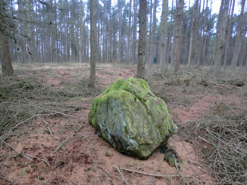
The more westerly standing stone lies 4m from the east edge of the barrow
mound. It stands up to 0.8m high and measures 1.2m by 0.6m in section. It has
been reused as a boundary marker and has been inscribed with the date 1891 at
the east edge of the south face. The second standing stone lies 14m to the
east. It stands up to 0.8m high and measures 1m by 0.3m in section. On the
east side there are two earthfast boulders set into the ground surface
alongside each other and extending for 1.5m from the standing stone. There is
an Ordnance Survey trig point between the two standing stones.
The barrow is one in a line of three and the monument lies in an area rich in
prehistoric monuments including further barrows.
MAP EXTRACT
The site of the monument is shown on the attached map extract.
Source: Historic England
Bowl barrows, the most numerous form of round barrow, are funerary monuments
dating from the Late Neolithic period to the Late Bronze Age, with most
examples belonging to the period 2400-1500 BC. They were constructed as
earthen or rubble mounds, sometimes ditched, which covered single or multiple
burials. They occur either in isolation or grouped as cemeteries and often
acted as a focus for burials in later periods. Often superficially similar,
although differing widely in size, they exhibit regional variations in form
and a diversity of burial practices. There are over 10,000 surviving bowl
barrows recorded nationally (many more have already been destroyed), occurring
across most of lowland Britain. Often occupying prominent locations, they are
a major historic element in the modern landscape and their considerable
variation of form and longevity as a monument type provide important
information on the diversity of beliefs and social organisations amongst early
prehistoric communities. They are particularly representative of their period
and a substantial proportion of surviving examples are considered worthy of
protection.
Standing stones are prehistoric ritual or ceremonial monuments with dates
ranging from the Late Neolithic to the end of the Bronze Age for the few
excavated examples. They comprise single or paired upright orthostatic slabs,
ranging from under 1m to over 6m high where still erect. They are often
conspicuously sited and close to other contemporary monument classes. They can
be accompanied by various features: many occur in or on the edges of round
barrows, and where excavated, associated sub surface features have included
stone cists, stone settings, and various pits and hollows filled in with earth
containing human bone, cremations, charcoal, flints and pottery. Similar
deposits have been found in excavated sockets for standing stones which range
considerably in depth. Standing stones may have functioned as markers for
routeways, territories, graves or meeting points, but their accompanying
features show that they also had a ritual function and that they form one of
several ritual monument classes of their period which often contain deposits
of cremation and domestic debris as an integral part. No national survey of
standing stones has been undertaken, and estimates range from 50 to 250 extant
examples widely distributed throughout England but with concentrations in
Cornwall, the North York Moors, Cumbria, Derbyshire and the Cotswolds.
Standing stones are important as nationally rare monuments with a high
longevity and demonstrate the diversity of ritual practices in the Late
Neolithic and Bronze Age.
Despite limited disturbance the round barrow and two standing stones in Hutton
Mulgrave Plantation, 115m west of Swarth House survives well. Significant
information about the original form of the barrow and the burials placed
within it will be preserved. Evidence for earlier land use will also survive
beneath the barrow mound. The relationship between the barrow and the standing
stones will provide evidence for the diversity of ritual practice during the
Bronze Age.
Together with other burial monuments in the area, this barrow is thought to
represent a territorial marker. Similar monument groups are known across the
west and central areas of the North York Moors and provide valuable insight
into burial practice and land division for social and ritual purposes.
Source: Historic England
Books and journals
Smith, M J B, Excavated Bronze Age Burial Mounds of Durham and N' land., (1994), 85
Spratt, D A , 'Prehistoric and Roman Archaeology in North East Yorkshire' in Prehistoric and Roman Archaeology of North East Yorkshire, , Vol. 87, (1993)
Source: Historic England
Other nearby scheduled monuments