Approximate Location Map
Large Map »
This site is entirely user-supported. See how you can help.
If Google Street View is available, the image is from the best available vantage point looking, if possible, towards the location of the monument. Where it is not available, the satellite view is shown instead.
Latitude: 54.4754 / 54°28'31"N
Longitude: -0.9553 / 0°57'19"W
OS Eastings: 467794.945213
OS Northings: 509396.389159
OS Grid: NZ677093
Mapcode National: GBR PJRP.ZG
Mapcode Global: WHF8N.9RBY
Entry Name: Defended prehistoric settlement site, 280m north east of Box Hall
Scheduled Date: 4 February 1999
Source: Historic England
Source ID: 1018845
English Heritage Legacy ID: 32616
County: North Yorkshire
Civil Parish: Danby
Traditional County: Yorkshire
Lieutenancy Area (Ceremonial County): North Yorkshire
Church of England Parish: Danby with Castleton and Commondale
Church of England Diocese: York
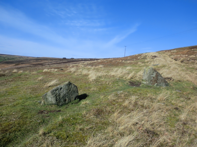
The monument includes the buried and earthwork remains of a small prehistoric
enclosure, sited on the south west-facing hillside above Box Hall. Scattered
across the hillside to the north west and south east there are fragmentary
remains of an associated field system which are not included in the
scheduling.
The enclosure is on slightly sloping ground and is formed by a bank and ditch
describing a sub-rectangular area 50m across. The northern and eastern sides
are relatively straight, with the opposing sides possessing an outward curve.
The ditch is typically around 3m wide and up to 0.3m deep with the internal
bank rising up to about 0.5m. On all but the northern side, the ditch also has
a slight external bank 3m-4m wide. The interior of the enclosure is slightly
sloping and has a number of irregularities. One of these was partly excavated
in 1959 by Raymond Hayes who uncovered a rock-cut pit over 2m wide and 0.7m
deep containing burnt stones and charcoal. In one of the three narrow trenches
also excavated across the ditch in 1959, a base of a pot dating to the Late
Bronze Age to Early Iron Age period was discovered.
Just to the north of the enclosure, centred 15m from the northern ditch, there
is a stone cairn 7m in diameter and 0.6m high which is also included in the
scheduling. This cairn appears to be fairly irregular and is considered to be
a stone clearance cairn.
MAP EXTRACT
The site of the monument is shown on the attached map extract.
It includes a 2 metre boundary around the archaeological features,
considered to be essential for the monument's support and preservation.
Source: Historic England
During the mid-prehistoric period (seventh to fifth centuries BC) a variety of
different types of defensive settlements began to be constructed and occupied
in the northern uplands of England. The most obvious sites were hillforts
built in prominent locations. In addition to these a range of smaller sites,
sometimes with an enclosed area of less than 1ha and defined as defended
settlements, were also constructed. Some of these were located on hilltops,
others are found in less prominent positions. The enclosing defences were of
earthen construction, some sites having a single bank and ditch (univallate),
others having more than one (multivallate). At some sites these earthen
ramparts represent a second phase of defence, the first having been a timber
fence or palisade. Within the enclosure a number of stone or timber-built
round houses were occupied by the inhabitants. Stock may also have been kept
in these houses, especially during the cold winter months, or in enclosed
yards outside them. The communities occupying these sites were probably single
family groups, the defended settlements being used as farmsteads. Construction
and use of this type of site extended over several centuries, possibly through
to the early Romano-British period (mid to late first century AD).
Defended settlements are a rare monument type. They were an important element
of the later prehistoric settlement pattern of the northern uplands and are
important for any study of the developing use of fortified settlements during
this period. All well-preserved examples are believed to be of national
importance.
The North York Moors is an area which has an abundance of prehistoric remains
particularly within moorland landscapes where they have not been disturbed by
more recent agricultural activity. These remains are evidence for the
widespread exploitation of the uplands throughout prehistory. Many remains
date from the Bronze Age (c.2000-700 BC) and relate to diverse activities,
funerary and ritual practice as well as agriculture and settlement. For the
end of the first millennium BC the range of evidence is more restricted.
Settlement at this time was concentrated in the lowland areas surrounding the
moors, although some settlement was located on the periphery and in the
valleys. The late prehistoric settlement sites on the higher ground are of two
types: those consisting of a small number of unenclosed hut circles and those
found within small square or sub-rectangular enclosures. A number of enclosed
settlement sites on the North York Moors survive as upstanding earthworks,
typically between 0.1ha and 0.5ha in area. Few have been subjected to
systematic excavation, but examples which have been investigated have
presented evidence of settlement, including the presence of buildings. Some of
the enclosures may also have functioned as stock enclosures. Where dating
evidence has been uncovered, they are normally found to be Iron Age or Romano-
British (c.700 BC-AD 400). They are a distinctive feature of the late
prehistory of the North York Moors and are important in illustrating the range
of enclosed settlement types that developed across Britain at this time.
The enclosure 280m north east of Box Hall is a well-preserved early example
of a small defended settlement. It forms a core area of a wider spread of
scattered prehistoric remains that extends to the north west.
Source: Historic England
Books and journals
Hayes, R H, North-East Yorkshire Studies: Archaeological Papers, (1988), 53-55
Source: Historic England
Other nearby scheduled monuments