Approximate Location Map
Large Map »
This site is entirely user-supported. See how you can help.
If Google Street View is available, the image is from the best available vantage point looking, if possible, towards the location of the monument. Where it is not available, the satellite view is shown instead.
Latitude: 54.3446 / 54°20'40"N
Longitude: -0.9004 / 0°54'1"W
OS Eastings: 471579.444647
OS Northings: 494898.11048
OS Grid: SE715948
Mapcode National: GBR QL46.VB
Mapcode Global: WHF9G.42H5
Entry Name: Northern of four round barrows known as Three Howes
Scheduled Date: 10 April 1967
Last Amended: 18 July 2000
Source: Historic England
Source ID: 1018991
English Heritage Legacy ID: 32650
County: North Yorkshire
Civil Parish: Rosedale West Side
Traditional County: Yorkshire
Lieutenancy Area (Ceremonial County): North Yorkshire
Church of England Parish: Lastingham St Mary
Church of England Diocese: York
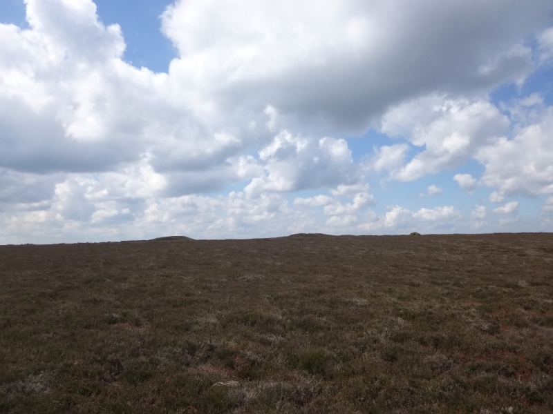
The monument includes buried and earthwork remains of a prehistoric burial
mound. It is the northernmost and smallest of a group of four prominent round
barrows known as Three Howes. The round barrow is prominently sited on top of
a broad, south east pointing spur of Blakey Ridge, overlooking Rosedale to the
north and east, with Spaunton Moor extending to the south. The barrow is the
smallest of the group, and unlike the other three, which can all be easily
seen on the skyline from a wide area, it is difficult to locate from a
distance. It is constructed of earth and stone, with some of the stones up to
0.6m across, and is 10m in diameter, 0.6m high. In its top is a 2m diameter,
0.4m deep hollow. Although there is no obvious ditch visible around the
barrow, a 3m margin has been included to allow for its likely survival. This
is because excavations of other examples in the region have shown that, even
where no encircling depression is discernible on the modern ground surface,
ditches immediately around the outside of the mound frequently survive as
infilled features, containing additional archaeological deposits.
MAP EXTRACT
The site of the monument is shown on the attached map extract.
It includes a 2 metre boundary around the archaeological features,
considered to be essential for the monument's support and preservation.
Source: Historic England
Round barrows are funerary monuments dating from the Late Neolithic period to
the Late Bronze Age, with most examples belonging to the period 2400-1500 BC.
They were constructed as earthen mounds, sometimes ditched, which covered
single or multiple burials. They occur either in isolation or grouped as
cemeteries and often acted as a focus of burials in later periods. Often
superficially similar, although differing widely in size, they exhibit
regional variations in form and a diversity of burial practices. There are
over 10,000 surviving examples recorded nationally (many more have already
been destroyed), occurring across most of Britain, including the Wessex area
where it is often possible to classify them more closely, for example as bowl
or bell barrows. Often occupying prominent locations, they are a major
historic element in the modern landscape and their considerable variation in
form and longevity as a monument type provide important information on the
diversity of beliefs and social organisations amongst early prehistoric
communities. They are particularly representative of their period and a
substantial proportion of surviving examples are considered worthy of
protection.
Excavations of round barrows in the region have shown that they demonstrate a
wide range of burial rites, from simple scatters of cremated material to
coffin inhumations and cremations contained in urns, typically dating to the
Bronze Age. A common factor is that barrows were normally used for more than
one burial and that the primary burial was frequently on or below the original
ground surface, often with secondary burials located within the body of the
mound.
Three Howes are an important and well preserved group of four barrows. The
northernmost barrow is an integral part of group and will retain important
archaeological information which will aid our understanding of Bronze Age
society.
Source: Historic England
Other nearby scheduled monuments