Approximate Location Map
Large Map »
This site is entirely user-supported. See how you can help.
If Google Street View is available, the image is from the best available vantage point looking, if possible, towards the location of the monument. Where it is not available, the satellite view is shown instead.
Latitude: 54.3936 / 54°23'36"N
Longitude: -0.5356 / 0°32'8"W
OS Eastings: 495176.756794
OS Northings: 500778.431298
OS Grid: NZ951007
Mapcode National: GBR SKPM.TS
Mapcode Global: WHGBC.RT4N
Entry Name: Cairnfield 690m east of Cook House
Scheduled Date: 15 November 1934
Last Amended: 9 April 2001
Source: Historic England
Source ID: 1019703
English Heritage Legacy ID: 34374
County: North Yorkshire
Civil Parish: Fylingdales
Built-Up Area: Robin Hood's Bay
Traditional County: Yorkshire
Lieutenancy Area (Ceremonial County): North Yorkshire
Church of England Parish: Ravenscar St Hilda
Church of England Diocese: York
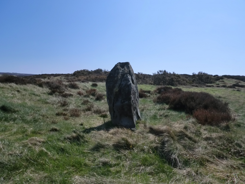
The monument includes the buried and earthwork remains of a cairnfield located
on the western side of Howdale Moor. This is the easternmost extent of the
sandstone, heather covered moor characteristic of the North York Moors. Today
the moor is little used but archaeological evidence indicates that this has
not always been the case. The prehistoric period in particular saw extensive
agricultural use of the area. It was also used for burials and activities
associated with the carving of patterns on exposed rock. Remains of these
activities survive today.
The cairnfield occupies level ground to the south east of a small gill with
land sloping down to the south and east. The cairnfield includes at least 11
cairns and extends over an area approximately 350m east to west by 150m north
to south. The cairns are stony mounds measuring up to 6m in diameter and up to
0.5m in height. These are the result of stone clearance in the Bronze Age to
improve the land for farming. Evidence from other similar monuments in the
north of England shows that such cairns may also have be used for burials or
cremations. The settlement from which this area of land was farmed has yet
to be identified.
MAP EXTRACT
The site of the monument is shown on the attached map extract.
It includes a 10 metre boundary around the archaeological features,
considered to be essential for the monument's support and preservation.
Source: Historic England
Cairnfields are concentrations of cairns sited in close proximity to one
another. They often consist largely of clearance cairns, built with stone
cleared from the surrounding landsurface to improve its use for agriculture,
and on occasion their distribution pattern can be seen to define field plots.
However, funerary cairns are also frequently incorporated, although without
excavation it may be impossible to determine which cairns contain burials.
Clearance cairns were constructed from the Neolithic period (from c.3400 BC),
although the majority of examples appear to be the result of field clearance
which began during the earlier Bronze Age and continued into the later Bronze
Age (2000-700 BC). The considerable longevity and variation in the size,
content and associations of cairnfields provide important information on the
development of land use and agricultural practices. Cairnfields also retain
information on the diversity of beliefs and social organisation during the
prehistoric period.
The cairnfield 690m east of Cook House has survived well. Significant
information about the original form of the cairns, any burials placed within
them and its relationship with other monuments will be preserved. Evidence of
earlier land use will also survive beneath the cairns.
Source: Historic England
Books and journals
Spratt, D A, Prehistoric and Roman Archaeology of North East Yorkshire, (1994), 109-122
Spratt, D A , 'Prehistoric and Roman Archaeology in North East Yorkshire' in Prehistoric and Roman Archaeology of North East Yorkshire, (1993), 109-122
Source: Historic England
Other nearby scheduled monuments