Approximate Location Map
Large Map »
This site is entirely user-supported. See how you can help.
If Google Street View is available, the image is from the best available vantage point looking, if possible, towards the location of the monument. Where it is not available, the satellite view is shown instead.
Latitude: 54.3313 / 54°19'52"N
Longitude: -0.7213 / 0°43'16"W
OS Eastings: 483248.393512
OS Northings: 493609.946408
OS Grid: SE832936
Mapcode National: GBR RLDC.M3
Mapcode Global: WHF9J.WDPF
Entry Name: Three round barrows 130m north west of Seavy Pond
Scheduled Date: 12 January 1968
Last Amended: 16 October 2002
Source: Historic England
Source ID: 1020684
English Heritage Legacy ID: 35462
County: North Yorkshire
Civil Parish: Newton
Traditional County: Yorkshire
Lieutenancy Area (Ceremonial County): North Yorkshire
Church of England Parish: Levisham St John the Baptist
Church of England Diocese: York
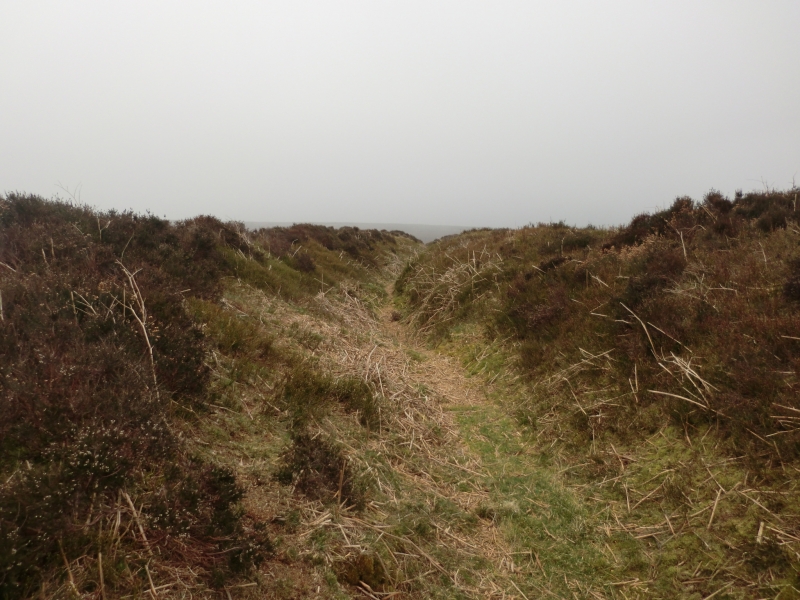
The monument includes the buried and earthwork remains of three
prehistoric burial mounds or barrows, located on the edge of West Side
Brow on the western side of Levisham Moor. The barrows are located in a
line along the edge of the slope overlooking the steep sided valley of
Newton Dale.
Levisham Moor lies on the southern edge of the sandstone, predominantly
heather covered moor characteristic of the North York Moors. The moor
occupies the northern part of a block of land defined by the deep valleys
of Newton Dale to the west, Horcum Slack to the east, Havern Beck to the
north and Levisham Beck to the south. The eastern side of the moor is
bisected by smaller valleys known locally as griffs which divide the moor
into a series of flat-topped peninsulas with steep slopes on all but their
north western sides. The southern part of the block of land has been
enclosed and brought into agricultural use but traces of prehistoric
remains in this area are visible on aerial photographs. Today the moor is
little used but archaeological evidence indicates that this has not always
been the case. Both the prehistoric and medieval periods saw intensive use
of the land for agricultural, industrial and ritual purposes. Remains of
these activities survive today.
The three barrows are located in a prominent position on the edge of the
moor in a highly visible position on the skyline. The southern barrow has
a flat-topped mound measuring 10m in diameter and 1m in height. The
central barrow lies 10m to the north east and has an earthen mound 13m in
diameter and 0.6m in height. The third barrow lies 15m to the north east
of the central barrow. It has a low stony mound 10m in diameter and 0.4m
in height. Other similar monuments elsewhere in the Moors sometimes have
an encircling ditch around the mound although this can often be infilled
and not visible as an earthwork. There are no visible surface remains of a
ditch around these mounds. All of the mounds have a shallow hollow on the
top that is the result of investigations in the past. This may have taken
place in 1851 as it is known that a number of barrows on West Side Brow
were opened in that year by Rev'd Robert Skelton.
There are at least ten other barrows distributed over the moor most of
which are in equally prominent positions. All these other barrows are the
subject of separate schedulings.
MAP EXTRACT
The site of the monument is shown on the attached map extract.
It includes a 2 metre boundary around the archaeological features,
considered to be essential for the monument's support and preservation.
Source: Historic England
Bowl barrows, the most numerous form of round barrow, are funerary monuments
dating from the Late Neolithic period to the Late Bronze Age, with most
examples belonging to the period 2400-1500 BC. They were constructed as
earthen or rubble mounds, sometimes ditched, which covered single or multiple
burials. They occur either in isolation or grouped as cemeteries and often
acted as a focus for burials in later periods. Often superficially similar,
although differing widely in size, they exhibit regional variations in form
and a diversity of burial practices. There are over 10,000 surviving bowl
barrows recorded nationally (many more have already been destroyed), occurring
across most of lowland Britain. Often occupying prominent locations, they are
a major historic element in the modern landscape and their considerable
variation of form and longevity as a monument type provide important
information on the diversity of beliefs and social organisations amongst early
prehistoric communities. They are particularly representative of their period
and a substantial proportion of surviving examples are considered worthy of
protection.
The three round barrows 130m north west of Seavy Pond survive well and,
although partly disturbed, they are relatively well-preserved. Excavation
of other round barrows in the region have shown that they demonstrate a
very wide range of burial rites from simple scatters of cremated material
to coffin inhumations and cremations contained in urns, typically dating
to the Bronze Age. A common factor is that barrows were normally used for
more than one burial and that the primary burial was frequently on or
below the original ground surface, often with secondary burials located
within the body of the mound. Most barrows include a small number of grave
goods. These are often small pottery food vessels, but stone, bone, jet
and bronze items have also occasionally been found. Excavation has also
shown that even where no encircling depression is discernible on the
modern ground surface, ditches immediately around the outside of barrows
frequently survive as infilled features, containing additional
archaeological deposits.
Source: Historic England
Books and journals
Atkins, C, An Archaeological Investigation of Levisham Moor, (1991)
Atkins, C, An Archaeological Survey of the Levisham Estate, (1991)
Atkins, C, An Archaeological Survey of the Levisham Estate, (1991)
Hayes, , Turnbull, , Levisham Moor Archaeological Investigations 1957-1978, (1990)
Source: Historic England
Other nearby scheduled monuments