Approximate Location Map
Large Map »
This site is entirely user-supported. See how you can help.
If Google Street View is available, the image is from the best available vantage point looking, if possible, towards the location of the monument. Where it is not available, the satellite view is shown instead.
Latitude: 54.3096 / 54°18'34"N
Longitude: -2.7485 / 2°44'54"W
OS Eastings: 351399.433089
OS Northings: 490698.078504
OS Grid: SD513906
Mapcode National: GBR 9L7L.RX
Mapcode Global: WH82W.RYD3
Entry Name: Watercrook Roman fort and civil settlement
Scheduled Date: 26 June 1924
Source: Historic England
Source ID: 1007178
English Heritage Legacy ID: CU 273
County: Cumbria
Civil Parish: Natland
Traditional County: Westmorland
Lieutenancy Area (Ceremonial County): Cumbria
Church of England Parish: Natland St Mark
Church of England Diocese: Carlisle
Roman Fort and Civilian Settlement, immediately north west of Watercrook Farm.
Source: Historic England
This record was the subject of a minor enhancement on 23 March 2016. This record has been generated from an "old county number" (OCN) scheduling record. These are monuments that were not reviewed under the Monuments Protection Programme and are some of our oldest designation records.
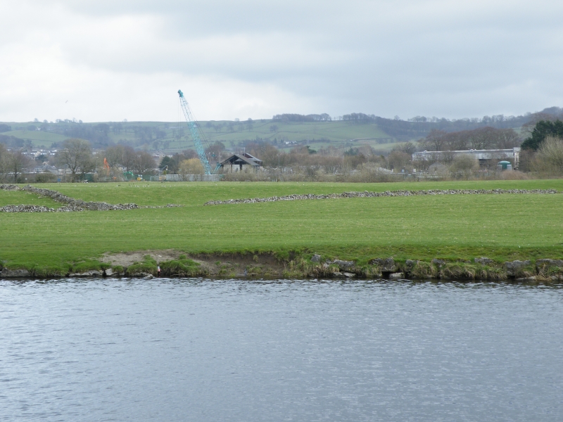
The monument includes the remains of a fort and its civilian settlement of Roman date, situated in a pronounced bend in the River Kent and protected on all but the south side by the river. The fort, which is sub-square in plan and is preserved as low earthwork, is orientated north west-south east and includes an enclosure surrounded by a bank and ditch with total dimensions of about 136m by 117m. The fort, known as Watercrook Fort, has been partially excavated on several occasions revealing the fort to have had a long period of occupation (AD90-369) and at least two constructional phases. The first fort had a clay-built rampart and outer ditch and was replaced by a second fort with stone outer walls. The excavation of two of the foundations of the gates of the fort found the north west gate to have two guard chambers flanking a 7.3m wide roadway, whereas the north east gate contained a roadway 3.5m wide and thick walls (1.1m-1.4m) constructed from reused masonry. Within the interior of the fort are the foundations of a barrack block measuring 36m by 23m. The fort is surrounded by its civilian settlement, or vicus, which is preserved as a cropmark. Excavation has indicated the developmental complexity of the vicus with buildings to the east of the fort indicating occupation from AD90-220, whereas the remains of timber buildings to the north of the fort dated to the late 2nd to late 3rd centuries AD. A lack of artefacts associated with the northern buildings was understood to indicate a non-domestic use and a metal working hearth was found associated with slag from iron smelting.
Source: Historic England
Roman forts served as permanent bases for auxiliary units of the Roman Army. In outline they were straight sided rectangular enclosures with rounded corners, defined by a single rampart of turf, puddled clay or earth with one or more outer ditches. Some forts had separately defended, subsidiary enclosures or annexes, allowing additional storage space or for the accommodation of troops and convoys in transit. Although built and used throughout the Roman period, the majority of forts were constructed between the mid first and mid second centuries AD. Some were only used for short periods of time but others were occupied for extended periods on a more or less permanent basis. In the earlier forts, timber was used for gateways, towers and breastworks. From the beginning of the second century AD there was a gradual replacement of timber with stone. Roman forts are rare nationally and are extremely rare south of the Severn Trent line. As one of a small group of Roman military monuments, which are important in representing army strategy and therefore government policy, forts are of particular significance to our understanding of the period. All Roman forts with surviving archaeological potential are considered to be nationally important.
The Roman fort and civilian settlement immediately north west of Watercrook Farm is highly representative of its period and is reasonably well-preserved. Excavation has revealed extensive archaeological deposits associated with complex phases of occupation and use. The significance of the fort is increased by its association with its civilian settlement. Taken as a whole the monument provides insight into the Roman military occupation of northern England and the complex relationship between Roman forts and native settlement and commercial activity.
Source: Historic England
Other
PastScape Monument No:- 43203 (Fort), 43239 (Vicus)
Source: Historic England
Other nearby scheduled monuments