Approximate Location Map
Large Map »
This site is entirely user-supported. See how you can help.
If Google Street View is available, the image is from the best available vantage point looking, if possible, towards the location of the monument. Where it is not available, the satellite view is shown instead.
Latitude: 52.3113 / 52°18'40"N
Longitude: 1.126 / 1°7'33"E
OS Eastings: 613184.349509
OS Northings: 272738.95037
OS Grid: TM131727
Mapcode National: GBR TJR.3HQ
Mapcode Global: VHL9M.G5MG
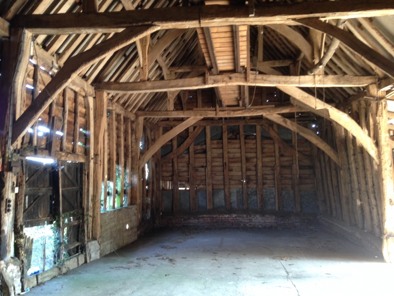
Entry Name: Barn at Rook Hall
Scheduled Date:
Source: Historic England
Source ID: 1005957
English Heritage Legacy ID: SF 204
County: Suffolk
Civil Parish: Eye
Traditional County: Suffolk
Lieutenancy Area (Ceremonial County): Suffolk
Church of England Parish: Eye St Peter and St Paul
Church of England Diocese: St.Edmundsbury and Ipswich
This record has been generated from an "old county number" (OCN) scheduling record. These are monuments that were not reviewed under the Monuments Protection Programme and are some of our oldest designation records. As such they do not yet have the full descriptions of their modernised counterparts available. Please contact us if you would like further information.
Source: Historic England
Other nearby scheduled monuments