Approximate Location Map
Large Map »
This site is entirely user-supported. See how you can help.
If Google Street View is available, the image is from the best available vantage point looking, if possible, towards the location of the monument. Where it is not available, the satellite view is shown instead.
Latitude: 54.5945 / 54°35'40"N
Longitude: -2.7925 / 2°47'33"W
OS Eastings: 348889.126336
OS Northings: 522430.482982
OS Grid: NY488224
Mapcode National: GBR 8HY9.7S
Mapcode Global: WH81J.2SH5
Entry Name: White Raise round cairn, Askham Fell
Scheduled Date: 30 November 1925
Last Amended: 25 July 1995
Source: Historic England
Source ID: 1007374
English Heritage Legacy ID: 22524
County: Cumbria
Civil Parish: Barton
Traditional County: Westmorland
Lieutenancy Area (Ceremonial County): Cumbria
Church of England Parish: Askham with Lowther
Church of England Diocese: Carlisle
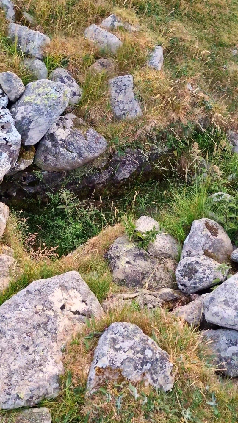
The monument is White Raise round cairn. It is located on Askham Fell and
includes a partly mutilated oval mound of stones up to 1.8m high with maximum
dimensions of 22m by 17.9m. Slightly south west of the cairn's centre is an
open rectangular cist measuring 1.25m by 0.6m and up to 0.4m deep with an
adjacent displaced limestone capping slab. A series of three partly
turf-covered stone banks up to 3m wide extend tangentially from the body of
the cairn. The largest of these banks is orientated south west from the edge
of the cairn and extends for 20m. There are faint indications of a dry stone
structure within the bank and some larger stones along the edge indicative of
kerbing. A second bank extends along the eastern and north eastern sides of
the cairn but does not actually separate from the cairn. The third bank is
orientated north west from the edge of the cairn and extends for 10m.
Limited antiquarian investigation located an adult inhumation within the
slightly off-centre cist.
MAP EXTRACT
The site of the monument is shown on the attached map extract.
It includes a 2 metre boundary around the archaeological features,
considered to be essential for the monument's support and preservation.
Source: Historic England
Round cairns are prehistoric funerary monuments dating to the Bronze Age
(c.2000-700 BC). They were constructed as stone mounds covering single or
multiple burials. These burials may be placed within the mound in stone-lined
compartments called cists. In some cases the cairn was surrounded by a ditch.
Often occupying prominent locations, cairns are a major visual element in the
modern landscape. They are a relatively common feature of the uplands and are
the stone equivalent of the earthen round barrows of the lowlands. Their
considerable variation in form and longevity as a monument type provide
important information on the diversity of beliefs and social organisation
amongst early prehistoric communities. They are particularly representative of
their period and a substantial proportion of surviving examples are considered
worthy of protection.
Despite limited antiquarian investigation White Raise round cairn survives
well. This investigation located human remains, and further evidence of
interments will exist within the mound and upon the old landsurface beneath.
The monument lies within an area of open fell rich in prehistoric monuments,
and is situated upon an alignment of funerary monuments stretching for over
1.5km along the natural communication route over a col between Lowther and
Ullswater valleys. It thus indicates the importance of this area in
prehistoric times and the diversity of monument types to be found here. The
monument will contribute to the study of the ceremonial function of cairns and
other spatially associated monuments in the area.
Source: Historic England
Books and journals
Quartermaine, J, Askham Fell Survey Catalogue, (1992), 23-4
Quartermaine, J, Askham Fell Survey Catalogue, (1992), 23
Other
Taylor, (1886)
To Quartermaine,J., Clare, T (County Archaeologist),
Source: Historic England
Other nearby scheduled monuments