Approximate Location Map
Large Map »
This site is entirely user-supported. See how you can help.
If Google Street View is available, the image is from the best available vantage point looking, if possible, towards the location of the monument. Where it is not available, the satellite view is shown instead.
Latitude: 54.3961 / 54°23'45"N
Longitude: -0.6543 / 0°39'15"W
OS Eastings: 487468.127407
OS Northings: 500899.143097
OS Grid: NZ874008
Mapcode National: GBR RKWL.4X
Mapcode Global: WHGB9.XRLS
Entry Name: Foster Howes bowl barrow (south) on Sneaton High Moor
Scheduled Date: 26 January 1938
Last Amended: 30 December 1994
Source: Historic England
Source ID: 1009855
English Heritage Legacy ID: 25650
County: North Yorkshire
Civil Parish: Sneaton
Traditional County: Yorkshire
Lieutenancy Area (Ceremonial County): North Yorkshire
Church of England Parish: Goathland St Mary
Church of England Diocese: York
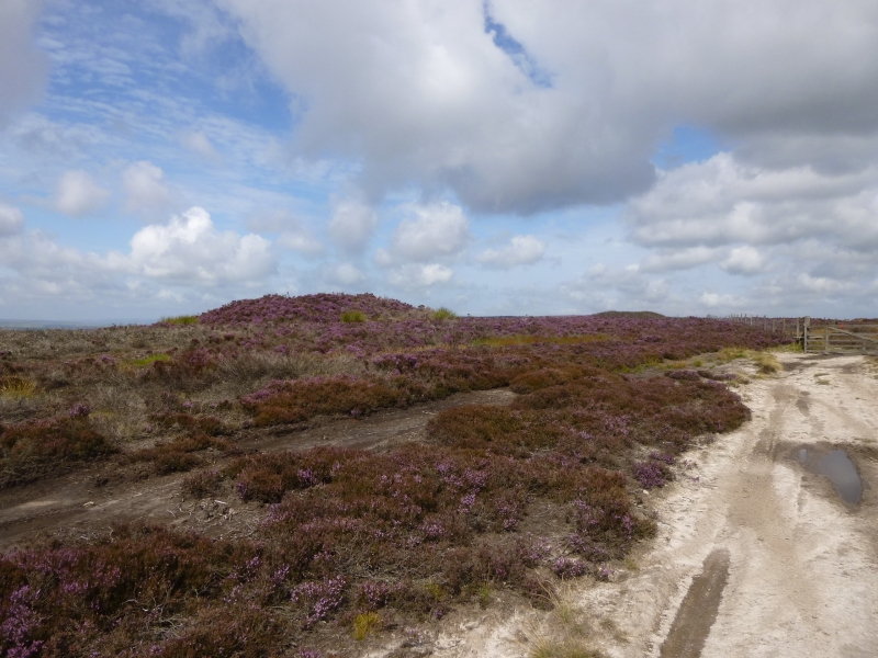
The monument includes a bowl barrow on Sneaton High Moor. It is the southern
one of a line of three known as the Foster Howes.
The mound is constructed of earth and stones and measures 20m in diameter and
stands 2m high. It has been excavated leaving a hollow in the top which is
0.75m deep and 6.5m across. There are traces of a stone kerb at the base of
the mound and a shallow surrounding ditch 2m wide.
The mound has a boundary stone inserted in the hollow. The stone is rough-cut
and marks the bounds of the present owners' lands. This boundary divided the
parishes of Goathland and Sneaton and was established at some time during the
medieval period.
MAP EXTRACT
The site of the monument is shown on the attached map extract.
It includes a 2 metre boundary around the archaeological features,
considered to be essential for the monument's support and preservation.
Source: Historic England
Bowl barrows, the most numerous form of round barrow, are funerary monuments
dating from the Late Neolithic period to the Late Bronze Age, with most
examples belonging to the period 2400-1500 BC. They were constructed as
earthen or rubble mounds, sometimes ditched, which covered single or multiple
burials. They occur either in isolation or grouped as cemeteries and often
acted as a focus for burials in later periods. Often superficially similar,
although differing widely in size, they exhibit regional variations in form
and a diversity of burial practices. There are over 10,000 surviving bowl
barrows recorded nationally (many more have already been destroyed), occurring
across most of lowland Britain. Often occupying prominent locations, they are
a major historic element in the modern landscape and their considerable
variation of form and longevity as a monument type provide important
information on the diversity of beliefs and social organisations amongst early
prehistoric communities. They are particularly representative of their period
and a substantial proportion of surviving examples are considered worthy of
protection.
The southern bowl barrow of the three known as Foster Howes survives well in
spite of earlier excavation. The mound shows traces of a kerb and a ditch and
preserves archaeological evidence of both burials and the original ground
surface.
Source: Historic England
Other nearby scheduled monuments