Approximate Location Map
Large Map »
This site is entirely user-supported. See how you can help.
If Google Street View is available, the image is from the best available vantage point looking, if possible, towards the location of the monument. Where it is not available, the satellite view is shown instead.
Latitude: 54.4106 / 54°24'38"N
Longitude: -1.1119 / 1°6'42"W
OS Eastings: 457738.55
OS Northings: 502047.9609
OS Grid: NZ577020
Mapcode National: GBR NKPF.2P
Mapcode Global: WHD7T.WDPL
Entry Name: Urra Moor prehistoric linear boundary on the western edge of Urra Moor
Scheduled Date: 22 October 1973
Last Amended: 24 September 1997
Source: Historic England
Source ID: 1015955
English Heritage Legacy ID: 29506
County: North Yorkshire
Civil Parish: Bilsdale Midcable
Traditional County: Yorkshire
Lieutenancy Area (Ceremonial County): North Yorkshire
Church of England Parish: Bilsdale Priory St Hilda
Church of England Diocese: York
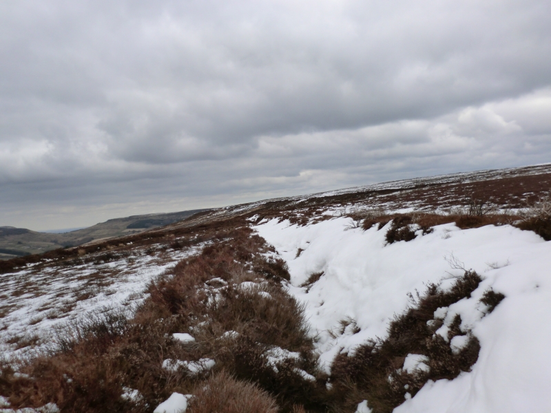
The monument includes two sections of a prehistoric linear boundary dyke on
the western edge of Urra Moor overlooking Bilsdale.
Orientated north-south, the monument extends for 4.4km along the eastern flank
of Bilsdale. The dyke is divided into two sections by a gap 60m wide where a
track and an old quarry have disturbed the monument.
The dyke includes a single earth and stone bank lying to the east of a quarry
ditch and separated from it by a narrow berm. The dyke varies in size along
its length and in some places has been partly disturbed by small quarries and
paths. The bank is up to 3.5m wide and 0.5m high, and in places the western
face is revetted with stone. The flanking ditch is in places cut into the
bedrock. The ditch is partly infilled and survives as a shallow earthwork up
to 3m wide and 0.5m deep.
At a point 100m north east of Weighill's Plantation the ditch curves westward
away from the bank and stops at the top edge of a vertical crag. The ditch
continues again as an earthwork flanking the bank 120m further to the south.
Neither end of the dyke are thought to be original and the monument was
probably larger. The scheduling only includes those sections confirmed to
survive.
All fences and walls crossing the monument are excluded from the scheduling,
although the ground beneath is included.
MAP EXTRACT
The site of the monument is shown on the attached map extract.
It includes a 2 metre boundary around the archaeological features,
considered to be essential for the monument's support and preservation.
Source: Historic England
Linear boundaries are substantial earthwork features comprising single or
multiple ditches and banks which may extend over distances varying between
less than 1km to over 10km. They survive as earthworks or as linear features
visible as cropmarks on aerial photographs or as a combination of both. The
evidence of excavation and study of associated monuments demonstrate that
their construction spans the millennium from the Middle Bronze Age, although
they may have been re-used later.
The scale of many linear boundaries has been taken to indicate that they were
constructed by large social groups and were used to mark important boundaries
in the landscape; their impressive scale displaying the corporate prestige of
their builders. They would have been powerful symbols, often with religious
associations, used to define and order the territorial holdings of those
groups who constructed them. Linear earthworks are of considerable importance
for the analysis of settlement and land use in the Bronze Age; all well
preserved examples will normally merit statutory protection.
Urra Moor dyke survives well as an earthwork and significant archaeological
remains will be retained within the bank and ditch. The dyke is part of a
wider system of prehistoric boundaries in the North York Moors which divided
the landscape into large territorial blocks. The dyke thus offers important
scope for the study of the development and exploitation of the landscape in
different geographical areas during the prehistoric period.
Source: Historic England
Books and journals
Spratt, D A, 'Prehistoric and Roman Archaeology of North East Yorkshire' in Prehistoric and Roman Archaeology of North East Yorkshire, , Vol. BAR 104, (1990), 128-141
Source: Historic England
Other nearby scheduled monuments