Approximate Location Map
Large Map »
This site is entirely user-supported. See how you can help.
If Google Street View is available, the image is from the best available vantage point looking, if possible, towards the location of the monument. Where it is not available, the satellite view is shown instead.
Latitude: 54.3766 / 54°22'35"N
Longitude: -1.0296 / 1°1'46"W
OS Eastings: 463132.650092
OS Northings: 498338.269779
OS Grid: SE631983
Mapcode National: GBR PK7T.WV
Mapcode Global: WHF96.48Z4
Entry Name: Northern of four round barrows known as Three Howes, 750m north east of Toad Hole
Scheduled Date: 29 October 1968
Last Amended: 5 January 2001
Source: Historic England
Source ID: 1019519
English Heritage Legacy ID: 32699
County: North Yorkshire
Civil Parish: Bransdale
Traditional County: Yorkshire
Lieutenancy Area (Ceremonial County): North Yorkshire
Church of England Parish: Kirkbymoorside All Saints
Church of England Diocese: York
The monument includes the earthwork and associated buried remains of the
northern most of a group of four prehistoric burial mounds known as Three
Howes. The smallest and least prominent of the group lies 60m to the SSE and a
closely spaced pair of barrows lie centred 120m to the south east, all of
which are the subject of separate schedulings. All four round barrows are
sited on the western, highest side of the plateau forming the highest part of
Rudland Rigg and the monument, like the southern pair, is a prominent
skyline feature.
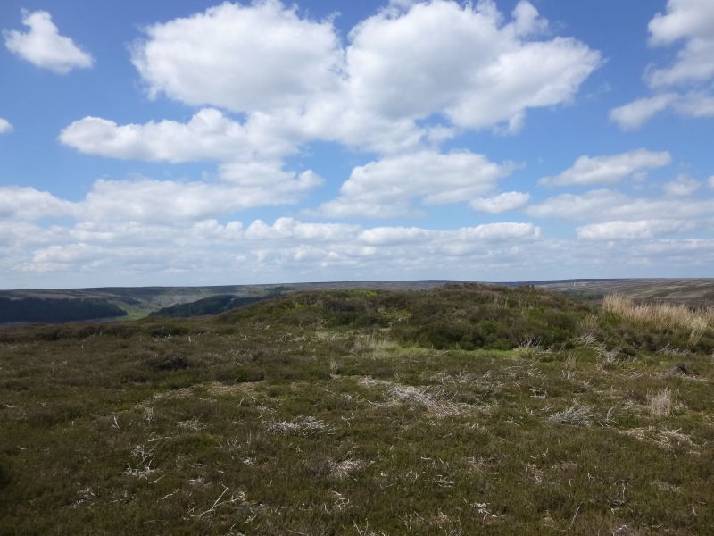
The monument is sited on level ground, about 30m east of the break of slope
down into Bransdale. It survives as an 11m diameter mound 1.2m high with a 2m
wide, 4m long and up to 0.5m deep north-south weathered trench cut into its
top. It appears to be mainly of earthen construction with very little stone
showing on the surface. Excavation of other examples of round barrows in the
region have shown that even where no encircling depression is discernible on
the modern ground surface, ditches immediately around the outside of the mound
frequently survive as infilled features, containing additional archaeological
deposits. A margin to allow for such an infilled ditch up to 2m wide around
the barrow is thus also included within the monument.
MAP EXTRACT
The site of the monument is shown on the attached map extract.
It includes a 2 metre boundary around the archaeological features,
considered to be essential for the monument's support and preservation.
Source: Historic England
Round barrows are funerary monuments dating from the Late Neolithic period to
the Late Bronze Age, with most examples belonging to the period 2400-1500 BC.
They were constructed as earthen mounds, sometimes ditched, which covered
single or multiple burials. They occur either in isolation or grouped as
cemeteries and often acted as a focus of burials in later periods. Often
superficially similar, although differing widely in size, they exhibit
regional variations in form and a diversity of burial practices. There are
over 10,000 surviving examples recorded nationally (many more have already
been destroyed), occurring across most of Britain, including the Wessex area
where it is often possible to classify them more closely, for example as bowl
or bell barrows. Often occupying prominent locations, they are a major
historic element in the modern landscape and their considerable variation in
form and longevity as a monument type provide important information on the
diversity of beliefs and social organisations amongst early prehistoric
communities. They are particularly representative of their period and a
substantial proportion of surviving examples are considered worthy of
protection.
The majority of round barrows in the region were dug into by 19th century
antiquarians in search of burials and artifacts, leaving behind a central
depression as evidence of their work. However excavations in the latter half
of the 20th century have shown that round barrows typically contain
archaeological information that survives earlier digging. Secondary burials
tend to be located within the main body of the mound and sometimes one of
these was mistaken for the primary burial which was usual the goal of the
antiquarian. Even when the primary burial has been excavated, further
secondary burials often survive in the undisturbed surrounding part of the
mound and infilled ditch. Additional valuable information about the mound's
construction and the local environment at the time of its construction will
also survive antiquarian excavation.
The northern of four round barrows known as Three Howes, 750m north east of
Toad Hole is one of an important group of relatively well-preserved round
barrows which will retain important information about Bronze Age society.
Source: Historic England
Books and journals
McDonnell, J, A History of Helmsley Rievaulx and District, (1963), 379
Source: Historic England
Other nearby scheduled monuments