Approximate Location Map
Large Map »
This site is entirely user-supported. See how you can help.
If Google Street View is available, the image is from the best available vantage point looking, if possible, towards the location of the monument. Where it is not available, the satellite view is shown instead.
Latitude: 54.3285 / 54°19'42"N
Longitude: -0.6607 / 0°39'38"W
OS Eastings: 487197.857427
OS Northings: 493379.562597
OS Grid: SE871933
Mapcode National: GBR RLTD.R3
Mapcode Global: WHGBP.TGLJ
Entry Name: Stone alignment 350m east of Newgate Foot
Scheduled Date: 19 January 1968
Last Amended: 24 November 2000
Source: Historic England
Source ID: 1019628
English Heritage Legacy ID: 34536
County: North Yorkshire
Civil Parish: Lockton
Traditional County: Yorkshire
Lieutenancy Area (Ceremonial County): North Yorkshire
Church of England Parish: Allerston St John
Church of England Diocese: York
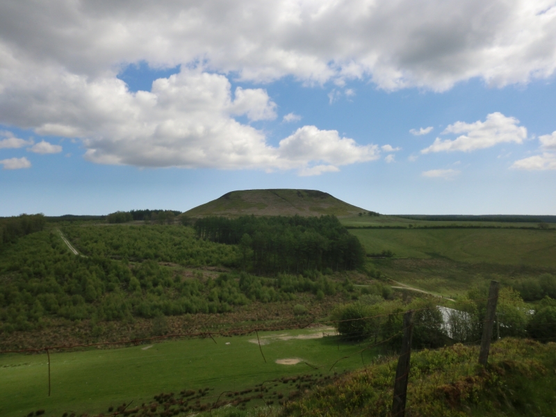
The monument includes a stone alignment situated on a gentle south-facing
slope below Blakey Topping, at the south west corner of Langdale Forest.
The alignment is visible as four upright stones, which are roughly-hewn
sandstone boulders. On the west side of the monument there are two stones,
aligned SSW to NNE up the slope. The northern stone stands 0.8m high, although
it would once have been higher, the top having been broken off in the past.
It measures 0.7m by 0.35m in section, with its long axis oriented north west
to south east. The southern stone is situated 15m to the SSW and is 1.7m high,
but leans to the north east. It measures 0.9m by 0.4m in section, and faces
the same direction as the northern stone. On the east side of the monument
there are also two stones. The southern stone is incorporated into a field
boundary bank and is situated about 20m to the south east of the southern
stone on the west side of the monument. It stands 1.3m high above the top of
the field boundary bank and leans slightly to the south. In section it
measures 0.8m by 0.5m with the long axis oriented east to west. The northern
stone on the east side stands 1.1m high, and measures 0.7m by 0.5m in section.
It is not in its original position, having been relocated in the past for use
as a gatepost, and it is now situated about 85m to the north of the southern
stone on the east side. Originally there would have been more stones in this
alignment, but these have been removed in the past to clear the ground for
agriculture or for reuse in field boundaries. These would either have
continued the curving line formed by the three surviving in situ stones, or
would have been situated in one of two parallel rows 18m apart, one of which
is defined by the two stones on the west side of the monument.
A field boundary marked by a bank with a fence on either side runs north to
south across the east side of the monument.
All fence posts are excluded from the scheduling, although the ground beneath
them is included.
MAP EXTRACT
The site of the monument is shown on the attached map extract.
It includes a 5 metre boundary around the archaeological features,
considered to be essential for the monument's support and preservation.
Source: Historic England
Stone alignments or stone rows consist of upright stones set in a single line,
or in two or more parallel lines, up to several hundred metres in length. They
are often sited close to prehistoric burial monuments, such as small cairns
and cists, and to ritual monuments, such as stone circles, and are therefore
considered to have had an important ceremonial function. Stone alignments were
being constructed and used from the Late Neolithic period to the Middle Bronze
Age (c.2500-1000 BC) and provide rare evidence of ceremonial and ritual
practices during these periods. Due to their rarity and longevity as a
monument type, all examples that are not extensively damaged will be
considered worthy of protection.
Despite disturbance, the stone alignment 350m east of Newgate Foot has
surviving archaeological deposits which will contain information about the
original form and use of the monument. It is one of only a very few stone
alignments which have been identified on the North York Moors and is therefore
an important example of the diversity of ritual practice in this area during
the prehistoric period. The stone alignment is situated close to a cairnfield
which also includes ritual and funerary monuments. Associated groups of
monuments such as this provide valuable insight into the use of the landscape
for social and ritual purposes.
Source: Historic England
Books and journals
Hayes, R H, 'North East Yorkshire Studies: Archaeological Papers' in Some Mesolithic Sites On The North York Moors, (1988), 14-16
Martlew, R D, Ruggles, C L N, 'Proceedings of the Prehistoric Society' in Ritual and Landscape on the West Coast of Scotland, , Vol. 62, (1996), 117-132
Spratt, D A , 'Prehistoric and Roman Archaeology in North East Yorkshire' in Prehistoric and Roman Archaeology of North East Yorkshire, , Vol. 87, (1993)
Other
12116,
Pacitto, A L, AM107, (1982)
Source: Historic England
Other nearby scheduled monuments