Approximate Location Map
Large Map »
This site is entirely user-supported. See how you can help.
If Google Street View is available, the image is from the best available vantage point looking, if possible, towards the location of the monument. Where it is not available, the satellite view is shown instead.
Latitude: 57.6663 / 57°39'58"N
Longitude: -2.8428 / 2°50'34"W
OS Eastings: 349815
OS Northings: 864357
OS Grid: NJ498643
Mapcode National: GBR M8BG.JD5
Mapcode Global: WH7KL.9KHT
Entry Name: Davie's Castle, fort
Scheduled Date: 9 February 2004
Source: Historic Environment Scotland
Source ID: SM11042
Schedule Class: Cultural
Category: Prehistoric domestic and defensive: fort (includes hill and promontory fort)
Location: Rathven
County: Moray
Electoral Ward: Keith and Cullen
Traditional County: Banffshire
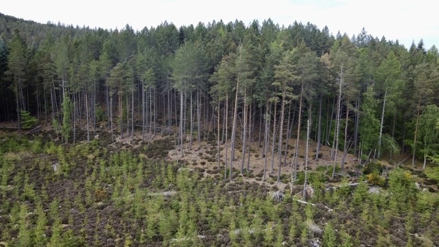
The monument comprises the remains of a fortified enclosure, measuring about 30m by 50m, occupying the greater part of a steep-sided hillock, situated in dense woodland, overlooking the Glen Burn.
The enclosure is delineated by a well-defined ditch about 5m wide and up to 2m deep (when measured against the inner, uphill edge); the ditch lies slightly downhill of the flat top of the knoll. The area enclosed measures about 30x50m although both ends have been scarred by 19th-century quarrying. The enclosure occupies the eastern part of the knoll - to the east it falls away steeply to the floor of the valley; to the west, the ditch cuts the defended area off from the rest of the flat top of the knoll. There appears to be a very clear entrance to the WSW. The enclosure is most likely a prehistoric fort, but it may be a medieval motte. Whichever it is, its size and very prominent position in the landscape (currently disguised by the dense tree cover) mark it out as a high status settlement.
The area to be scheduled is irregular, measuring a maximum of about 80m E-W by about 60m N-S, to enclose the visible remains and an area around them within which related features may survive, as marked in red on the attached map.
Source: Historic Environment Scotland
The monument is of national importance as a striking example of a prehistoric, or less likely, medieval fortified site, occupying a very prominent position. It has the potentail to enhance considerably our understanding of high status defended sites and, consequently, to improve our understanding of social structures.
Source: Historic Environment Scotland
Bibliography
The monument is recorded by RCAHMS as NJ46SE 2.
Source: Historic Environment Scotland
Other nearby scheduled monuments