Approximate Location Map
Large Map »
This site is entirely user-supported. See how you can help.
If Google Street View is available, the image is from the best available vantage point looking, if possible, towards the location of the monument. Where it is not available, the satellite view is shown instead.
Latitude: 53.1774 / 53°10'38"N
Longitude: -1.0356 / 1°2'8"W
OS Eastings: 464552.735016
OS Northings: 364914.543792
OS Grid: SK645649
Mapcode National: GBR 9GB.WHM
Mapcode Global: WHFH0.2D4G
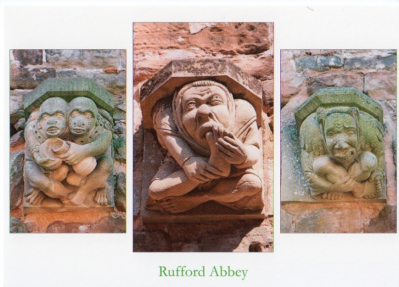
Entry Name: Rufford Abbey Cistercian monastery: monastic precinct, water-management works, pre-monastic open-field system and post-medieval building
Scheduled Date: 12 April 1961
Last Amended: 9 September 1992
Source: Historic England
Source ID: 1011013
English Heritage Legacy ID: 13271
County: Nottinghamshire
Civil Parish: Rufford
Built-Up Area: Rufford Country Park
Traditional County: Nottinghamshire
Lieutenancy Area (Ceremonial County): Nottinghamshire
Church of England Parish: Wellow
Church of England Diocese: Southwell and Nottingham
Rufford Abbey is situated on the eastern boundary of Sherwood Forest in
present day Rufford Country Park. The monument includes the precinct and
associated features of the twelfth century Cistercian abbey of St.Mary the
Virgin, part of the ruins of a post-medieval manor house built after the
monastery's dissolution and a remnant of the open-field system associated with
the medieval villages of Rufford and Cratley, deserted prior to the
monastery's foundation.
The monastic remains consist primarily of the buried foundations of the
buildings to the north, east and south of the cloister and the extant cellar,
outer parlour and lay-brothers' frater (refectory) which formed the west
cloister range. Partial excavations carried out by the then Ministry of Works
between 1956 and 1957 revealed the typical ground plan of a Cistercian abbey,
with the church forming the northern range of the cloister, the kitchen,
monks' frater and warming house forming the southern range, and the sacristy,
chapter house, inner parlour and monks' dorter (sleeping quarters) the eastern
range. A drain running east-west to the south of the cloister indicates the
most likely location of the reredorter or latrine. The surviving west range
is an extremely well-preserved example of Cistercian architecture, being of
typically plain construction with round and octagonal columns, a rib-vaulted
ceiling and, in the frater, traces of the day-stair and cupboards for spoons
and linen. The lay-brothers' dorter, with the night-stair leading out on the
north side, lay above the cellar. A small late-fourteenth century window
looks east over the cloister and indicates the conversion of the dorter to
some other use at this time.
The foundations of ancillary buildings such as barns, bakehouses, infirmary
and gate-house, along with the remains of stock-pens and enclosures, will
be located in the unexcavated areas of the monastic precinct beyond the
claustral complex. Although the exact boundaries of the precinct are not
at this stage known, a reasonable assumption can be made by analogy with other
Cistercian sites. Of particular interest within the precinct at Rufford Abbey
are the faint surviving traces of ridge and furrow cultivation, running north-
south to the east of the claustral buildings, alongside Rainworth Water, and
east-west to the west, where the formal gardens of the later manor house lay.
This evidence of an open-field system is believed to pre-date the abbey's
foundation and to relate to the two medieval villages which were abandoned to
make way for it.
North of the abbey complex, in a wooded area known as the Wilderness, a dry
watercourse or leat can be traced north for c.200m before curving eastwards
towards what is now Rufford Lake. For much of its length through the woods,
the leat is at least 2m deep and a similar distance wide. Two sub-rectangular
depressions, located on the northern edge of the precinct and fed by the leat,
were either late medieval fishponds dating from the time when fish was
permitted in the Cistercian diet, or, alternatively, were wheel pits
associated with one of the mills known to have belonged to the abbey. A
shallower channel, flanking the path to the east of the ruins, is a later
garden feature and not associated with the monastery although it lies within
the precinct bounds. In addition to converting the outer precinct to gardens,
the post-Dissolution occupiers of the abbey utilised the stone for new
buildings and added living accommodation over the lay-brothers' quarters while
the refectory was converted to a servants' hall and a fireplace added. A
projecting wing was added to the north end in c.1610, to balance the new
building work being carried out to the south. In 1679, a new north wing
containing reception rooms and a long gallery was built on the site of the
abbey church but has since been demolished. A Tudor-style entrance, with
steps and balustraded causeway, were added to the west-front in the late
1830s.
Further buildings were constructed to the south but do not form part of this
scheduling.
The manor at Rufford was granted to the monks of Rievaulx Abbey in 1146 by
Gilbert de Gaunt, Earl of Lincoln. The construction of the stone buildings of
the abbey appears to have been completed by c.1170, and few alterations seem
to have been carried out between that date and the monastery's suppression in
1536. Never a prosperous abbey, Rufford was one of the first to be affected
by the Dissolution and, in 1537, the entire estate was granted to George
Talbot, fourth Earl of Shrewsbury. The transformation of the abbey into a
country house was begun between 1560 and 1590 by George Talbot, sixth Earl of
Shrewsbury and husband of Bess of Hardwick. In 1626, the estate passed to Sir
George Savile, husband of Mary Talbot, the sister of the seventh and eighth
earls. Rufford became the family home of the Saviles when William Savile,
George's brother and successor and an ardent supporter of Charles I during the
Civil War, burnt down the family's original seat at Thornhill to prevent it
becoming a Parliamentarian garrison. Most of the alterations and construction
work carried out at the abbey date to the period immediately after the
Restoration, with the now demolished north wing being added in 1679. The
house was demolished in 1956 and the site of the abbey and the converted west
range has been in state care since 1959. The west range is a Grade I Listed
Building.
Features excluded from the scheduling are the surfaces of paths and drives,
fencing, all English Heritage and Nottinghamshire County Council fittings such
as notices, benches, grilles and railings, the sheds etc. within the works
compound and the outbuildings in the paddocks to the east of the ruins. The
ground underneath these features is, however, included.
MAP EXTRACT
The site of the monument is shown on the attached map extract.
Source: Historic England
From the time of St Augustine's mission to re-establish Christianity in AD 597
to the reign of Henry VIII, monasticism formed an important facet of both
religious and secular life in the British Isles. Settlements of religious
communities, including monasteries, were built to house communities of monks,
canons (priests), and sometimes lay-brothers, living a common life of
religious observance under some form of systematic discipline. It is estimated
from documentary evidence that over 700 monasteries were founded in England.
These ranged in size from major communities with several hundred members to
tiny establishments with a handful of brethren. They belonged to a wide
variety of different religious orders, each with its own philosophy. As a
result, they vary considerably in the detail of their appearance and layout,
although all possess the basic elements of church, domestic accommodation for
the community, and work buildings. Monasteries were inextricably woven into
the fabric of medieval society, acting not only as centres of worship,
learning and charity, but also, because of the vast landholdings of some
orders, as centres of immense wealth and political influence. They were
established in all parts of England, some in towns and others in the remotest
of areas. Many monasteries acted as the foci of wide networks including parish
churches, almshouses, hospitals, farming estates and tenant villages. Some 75
of these religious houses belonged to the Cistercian order founded by St
Bernard of Clairvaux in the 12th century. The Cistercians - or "white monks",
on account of their undyed habits - led a harsher life than earlier monastic
orders, believing in the virtue of a life of austerity, prayer and manual
labour. Seeking seclusion, they founded their houses in wild and remote areas
where they undertook major land improvement projects. Their communities were
often very large and included many lay brethren who acted as ploughmen,
dairymen, shepherds, carpenters and masons. The Cistercians' skills as farmers
eventually made the order one of the richest and most influential. They were
especially successful in the rural north of England where they concentrated on
sheep farming. The Cistercians made a major contribution to many facets of
medieval life and all of their monasteries which exhibit significant surviving
archaeological remains are worthy of protection.
Although the standing remains at Rufford Abbey are limited, the surviving west
range containing the lay-brothers' frater is the most impressive and
best-preserved in the country. In addition to water-management earthworks and
the foundations of the claustral complex, the remains of ancillary buildings
will survive undisturbed in the outer precinct. Archaeological deposits and
architectural features relating to the pre-monastic and post-Dissolution use
of the site also survive.
Source: Historic England
Books and journals
'Country Life' in Rufford Abbey, Nottinghamshire, , Vol. 14, (1903), 650-656
Gilyard-Beer, R, 'Medieval Archaeology' in Rufford Abbey, Nottinghamshire, (1965), 161-3
Gilyard-Beer, R, 'Medieval Archaeology' in Rufford Abbey, Nottinghamshire, (1965), 161-63
Phillips, A P, 'Transactions of the Thoroton Society' in The Diet of the Savile Household in the Seventeenth Century, , Vol. 63, (1959), 57-71
Savile, Lord, 'The Ludgate Monthly' in Rufford Abbey, , Vol. 2, (), 435-443
Other
Notts. County Council guidebook, Rufford, Past and Present, (1980)
Notts. County Council guidebook, Rufford, Past and Present, (1980)
Source: Historic England
Other nearby scheduled monuments