Approximate Location Map
Large Map »
This site is entirely user-supported. See how you can help.
If Google Street View is available, the image is from the best available vantage point looking, if possible, towards the location of the monument. Where it is not available, the satellite view is shown instead.
Latitude: 52.4856 / 52°29'8"N
Longitude: -1.163 / 1°9'46"W
OS Eastings: 456936.312825
OS Northings: 287846.896537
OS Grid: SP569878
Mapcode National: GBR 8PC.0SZ
Mapcode Global: VHCT6.SSKF
Entry Name: Motte, moat and fishponds west of All Saints Church
Scheduled Date: 29 May 1952
Last Amended: 20 October 1994
Source: Historic England
Source ID: 1010495
English Heritage Legacy ID: 17045
County: Leicestershire
Civil Parish: Gilmorton
Built-Up Area: Gilmorton
Traditional County: Leicestershire
Lieutenancy Area (Ceremonial County): Leicestershire
Church of England Parish: Gilmorton All Saints
Church of England Diocese: Leicester
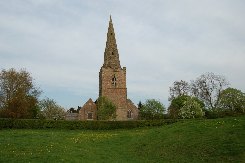
The earthworks at Gilmorton lie west of the church and 3km north east of
Lutterworth and consist of a motte castle, a moat to the north west, house
platforms to the south and two fishponds below them.
A prominent motte is situated adjacent to the church and comprises a flat-
topped circular mound, approximately 3m high, 38m in diameter at the base and
25m at the top. It has a surrounding ditch, 8m wide and 1m deep, which is
waterlogged on the south side and has been partly altered on the church side.
A channel, waterfilled at one end and about 20m long, 7m wide and lm
deep, leads off the motte ditch on the western side. A rectangular moat
measuring 45m by 33m overall lies to the north west of the motte. The moat
ditch is shallow but the southern and eastern arms contain water. The
remainder of the moat has been largely filled in. A dry feeder channel leads
off to the south but cannot be identified beyond the existing field boundary.
A hollow way, 7m wide and 0.75m deep, leads south from the motte. Several
house platforms are visible to the east of the hollow way. At the southern
end of the hollow way are two rectangular fishponds aligned east-west.
The western pond measures 12m by 9m and is 1m deep, and the eastern pond
measures 8m by 25m and has a depth of 0.75m.
MAP EXTRACT
The site of the monument is shown on the attached map extract.
Source: Historic England
Motte castles are medieval fortifications introduced into Britain by the
Normans. They comprised a large conical mound of earth or rubble, the motte,
surmounted by a palisade and a stone or timber tower. In a majority of
examples an embanked enclosure containing additional buildings, the bailey,
adjoined the motte. Motte castles and motte-and-bai1ey castles acted as
garrison forts during offensive military operations, as strongholds, and, in
many cases, as aristocratic residences and as centres of local or royal
administration. Built in towns, villages and open countryside, motte castles
generally occupied strategic positions dominating their immediate locality
and, as a result, are the most visually impressive monuments of the early
post-Conquest period surviving in the modern landscape. Over 600 motte castles
and motte-and-bailey castles are recorded nationally, with examples known from
most regions. Some 100-150 examples do not have baileys and are classified as
motte castles. As one of a restricted range of recognised early post-Conquest
monuments, they are particularly important for the study of Norman Britain and
the development of the feudal system. Although many were occupied for only a
short period of time, motte castles continued to be built and occupied from
the 11th to the 13th centuries, after which they were superseded by other
types of castle.
Gilmorton motte was either built within, or acted as a focus for, a later
settlement. Although part of this settlement has continued in use to the
present day with consequent disturbance of the earlier remains, earthworks
survive in the area around the motte. These belong to part of the earlier
settlement which was deserted as the village either shrank or shifted its
focus. These earthworks include house plots and fishponds and, importantly,
the location of a prestigious residence surrounded by a moat. Together, the
remains of the motte and the shrunken village provide important evidence of
the changing patterns of settlement in the Leicestershire medieval rural
landscape.
Source: Historic England
Books and journals
Page, W, The Victoria History of the County of Leicestershire: Volume I, (1907), 258
Source: Historic England
Other nearby scheduled monuments